- Built
- c. 1880
- Style
- Italianate Italianate
- MACRIS
- NWB.436 ↗
History
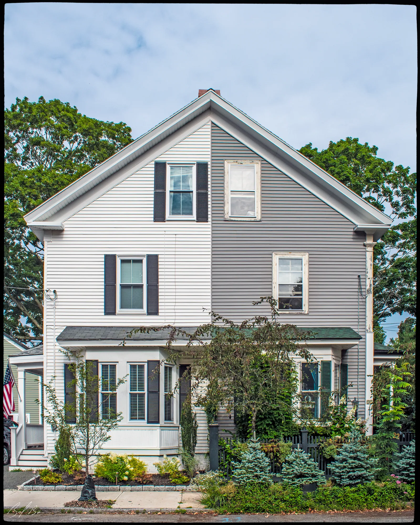
This house is vernacular in style but features elements of several popular Victorian styles. The house lacks the mansard roof of the Second Empire style, but the scrolled brackets that detail the bay windows and the cornice moulding are used in many buildings of that style.
The overall form of the building is clearly influenced by the Victorian Italianate style. The hipped roof and the broken roofline are both typical of the style, as is the Italianate entrance porch.
This house was built before 1884, probably by Samuel A. Bridges, the property owner that year. Samuel A. Bridges was a partner with Joseph N. Danforth. The firm Danforth and Bridges was a shoe-bottomer at 33 Pleasant Street.
The house remained in the Bridges family until 1937.
Planning work on this building?
Reviews that may apply
Newburyport Historic District (National Register, listed 1984), contributing in the 1984 nomination · Downtown Overlay District (DOD) · Parcel 47-43 · Zone B3
Planning Board decides
Downtown, new construction, alteration or demolition of a historic building (individually listed or contributing in 1984) needs a DOD special permit, judged against the Secretary of the Interior's Standards; the Historical Commission sends an advisory report. Replacing windows, doors, signs, awnings or fences is reviewed by the Planning Office at staff level, with a window inventory; a new opening in a wall needs the Board. The demolition delay ordinance does not apply downtown except to work the Zoning Administrator excludes from DOD review.
Zoning Administrator first stop
Every project starts with a zoning determination from the Zoning Administrator, which says which of these reviews apply and whether the work also needs zoning relief (a special permit for a non-conformity, or a variance). Fees, forms and filing deadlines are on the City’s site.
Not legal advice, not an official City publication, and not the position of the Historical Commission or any board. Says what the ordinances say as of September 30, 2026; the Zoning Administrator decides what applies. Boundaries: Merrimack Valley Planning Commission / City of Newburyport GIS (MIMAP); 1984 status from the National Register nomination's district data sheets. City's quick guide to the DCOD and demolition delay ↗ · Do I need approval? Project by project →
More photos
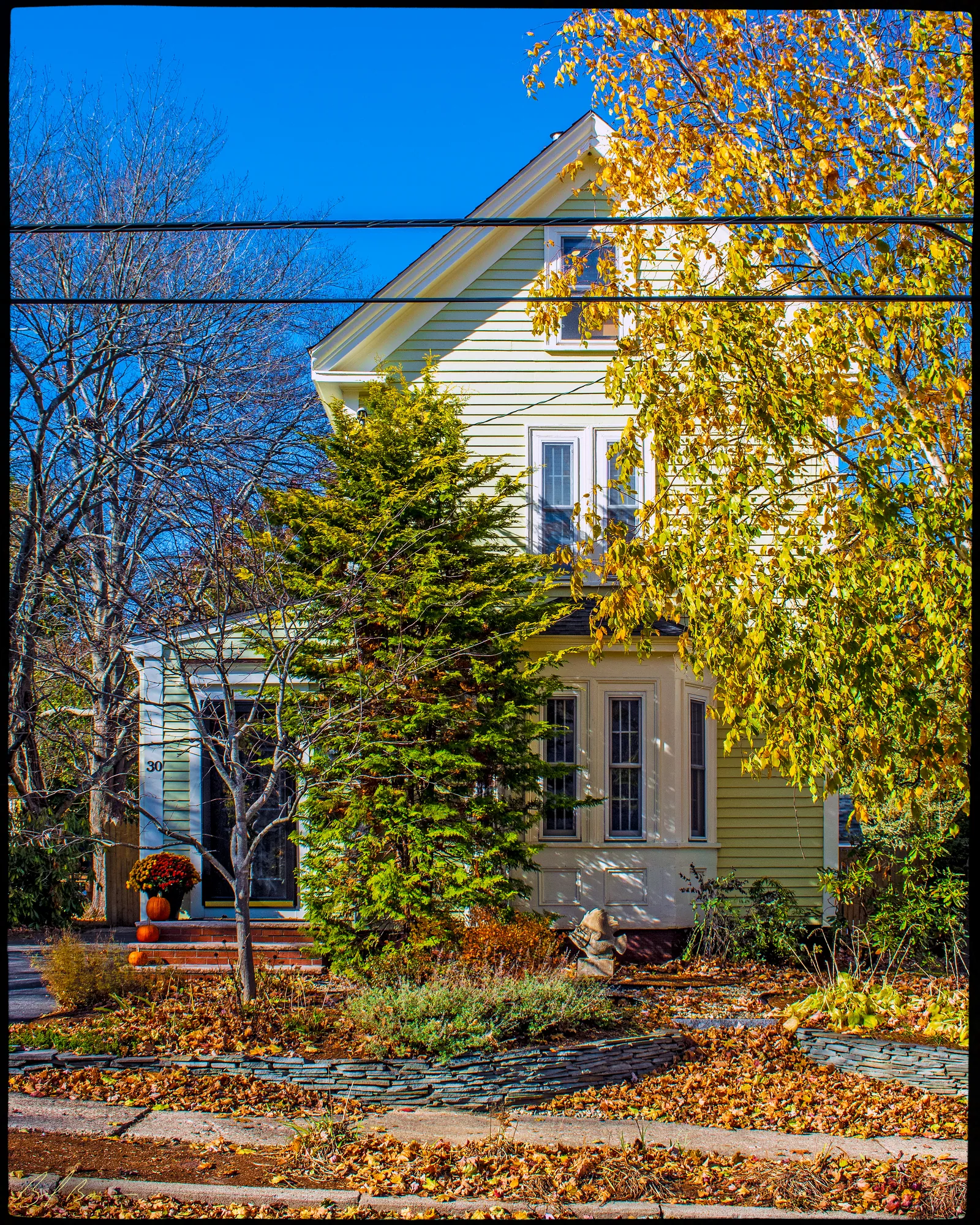
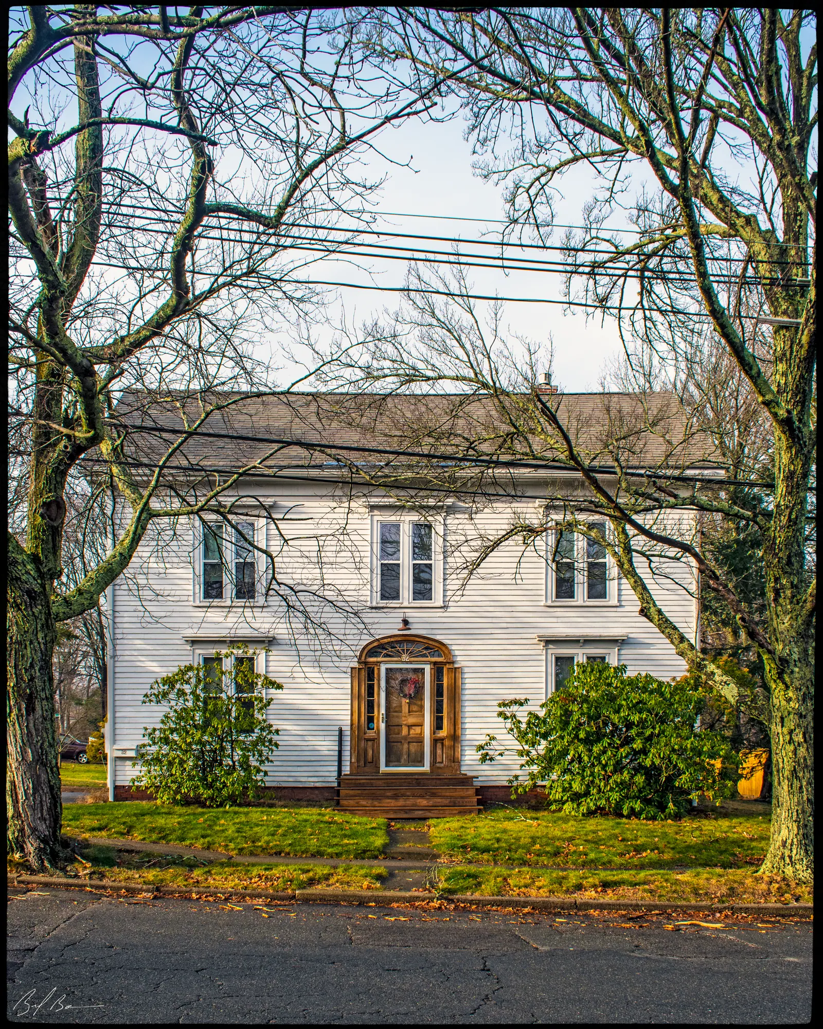
2 views · Biff Bouse
Details
2 close-ups
From the archive
4 items · maps, papers, old photographs
More built 1860–1900
Sources
- Massachusetts Cultural Resource Information System - NWB.436
- “United States Census, 1880,” database with images, FamilySearch, Massachusetts > Essex > Newburyport > ED 226 > image 14 of 47.
- Sanborn Fire Insurance Map from Newburyport, Essex County, Massachusetts. Sanborn Map Company, May 1888.
- Sanborn Fire Insurance Map from Newburyport, Essex County, Massachusetts. Sanborn Map Company, Oct 1914.