- Built
- c. 1860
- Style
- Mid-Victorian Eclectic/Italianate Victorian Eclectic
- MACRIS
- NWB.2688 ↗
History
On July 24, 1845, the county commissioners laid out a way, called Park Street, from High Street to Harris Street, through land owned by Stephen Hodge on the northwest side of Sewall Place. By 1851, five of the seven buildings on Park Street today had been built, nearly all of them in the predominant Greek Revival style.
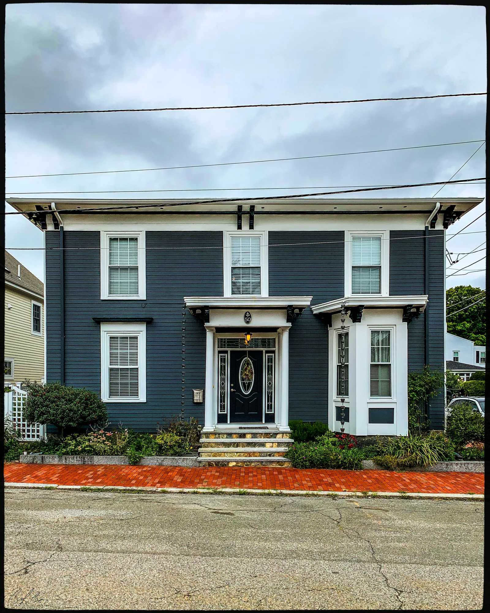
Although Numbers 3 and 4 Park St. are slightly later, they add rather than detract from the character of the overall streetscape. This house, No. 3, is a Victorian dwelling with elements of the Italianate style and others. It is reminiscent of designs published by the architect, A.J. Downing, in his book of designs for cottage residences.
Planning work on this building?
Reviews that may apply
Newburyport Historic District (National Register, listed 1984), contributing in the 1984 nomination · Downtown Overlay District (DOD) · Parcel 13-7 · Zone B2
Planning Board decides
Downtown, new construction, alteration or demolition of a historic building (individually listed or contributing in 1984) needs a DOD special permit, judged against the Secretary of the Interior's Standards; the Historical Commission sends an advisory report. Replacing windows, doors, signs, awnings or fences is reviewed by the Planning Office at staff level, with a window inventory; a new opening in a wall needs the Board. The demolition delay ordinance does not apply downtown except to work the Zoning Administrator excludes from DOD review.
Zoning Administrator first stop
Every project starts with a zoning determination from the Zoning Administrator, which says which of these reviews apply and whether the work also needs zoning relief (a special permit for a non-conformity, or a variance). Fees, forms and filing deadlines are on the City’s site.
Not legal advice, not an official City publication, and not the position of the Historical Commission or any board. Says what the ordinances say as of September 30, 2026; the Zoning Administrator decides what applies. Boundaries: Merrimack Valley Planning Commission / City of Newburyport GIS (MIMAP); 1984 status from the National Register nomination's district data sheets. City's quick guide to the DCOD and demolition delay ↗ · Do I need approval? Project by project →
From the archive
3 items · maps, papers, old photographs
More built 1830–1860
Sources
- Massachusetts Cultural Resource Information System - NWB.2688, NWB.AP