History
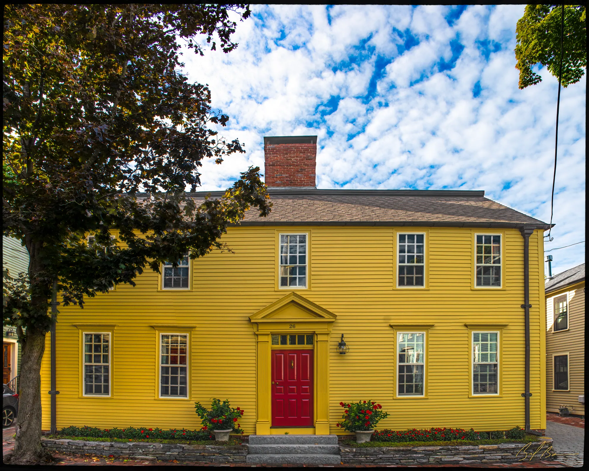
This building, originally a meeting house, is Georgian in style. It is two stories in height with a pitched roof and a symmetrical, five-bay facade. The front entrance is in a projecting central bay. This entrance porch is pedimented. The door is flanked by classical pilasters. This type of Georgian entrance porch is seen in many eighteenth-century homes in Newburyport.
This building was originally a Quaker Meeting House and was located on High Street in Newburyport’s North End. The building was moved in 1857 and converted into a swelling. The building was built on the foundation of a house destroyed by fire that same year. The house had been owned by Charles Bartlet.
Later owners of the house included George A. Menut, who owned the property in the 1940s. The building housed a private school in the early nineteenth century. Before it was removed to Ferry Road, it served as the vestry for the Fourth Parish church in Newbury, now the Belleville Congregational Church.
Planning work on this building?
Reviews that may apply
Outside the historic district and the two overlays · Parcel 70-64 · Zone R2B
Newburyport Historical Commission decides whether to impose a delay
Built 1743, so 75 or more years old: removing more than 25% of its exterior walls, changing the roofline (pitch, towers, cupolas, anything projecting above the roof), moving it, or adding a dormer that misses the setback and pitch rules is "demolition" under the demolition delay ordinance. The Commission holds a hearing within 30 days and may impose a delay of up to 18 months. Parts of the building documented as younger than 75 years are excluded on a written determination by the Zoning Administrator.
Code of Ordinances ch. 5 art. X, §§5-307–5-308 (June 2026) ↗
Zoning Administrator first stop
Every project starts with a zoning determination from the Zoning Administrator, which says which of these reviews apply and whether the work also needs zoning relief (a special permit for a non-conformity, or a variance). Fees, forms and filing deadlines are on the City’s site.
Not legal advice, not an official City publication, and not the position of the Historical Commission or any board. Says what the ordinances say as of September 30, 2026; the Zoning Administrator decides what applies. Boundaries: Merrimack Valley Planning Commission / City of Newburyport GIS (MIMAP); 1984 status from the National Register nomination's district data sheets. City's quick guide to the DCOD and demolition delay ↗ · Do I need approval? Project by project →
More built Before 1775
Sources
- Massachusetts Cultural Resource Information System - NWB.520