Independent St.
MACRIS NWB.P · area form
Independent Street runs from Water Street to Middle Street, between Federal and Centre Streets, at the head of Davenport's wharf. Before it had a name it served as a lane up from the waterfront. The survey says it was laid out and named after the Revolutionary War, and a cannon ball on a granite post stood at its corner with Liberty Street until 1910. Its only cross street, Liberty Street, was laid out between Federal and Centre in 1769.
The west side, from Water Street, has four eighteenth-century houses set tight to the sidewalk, built for men who worked on the waterfront. As shipping declined, mills replaced homes: the Globe Mill in 1851, and mills along Water Street and the east side of Independent Street in 1886. By the time of the survey the street had become a mill area.
Summarized from the Massachusetts Historical Commission's area form. See the MACRIS record ↗
Independent Street
MACRIS NWB.AN · area form, 1980
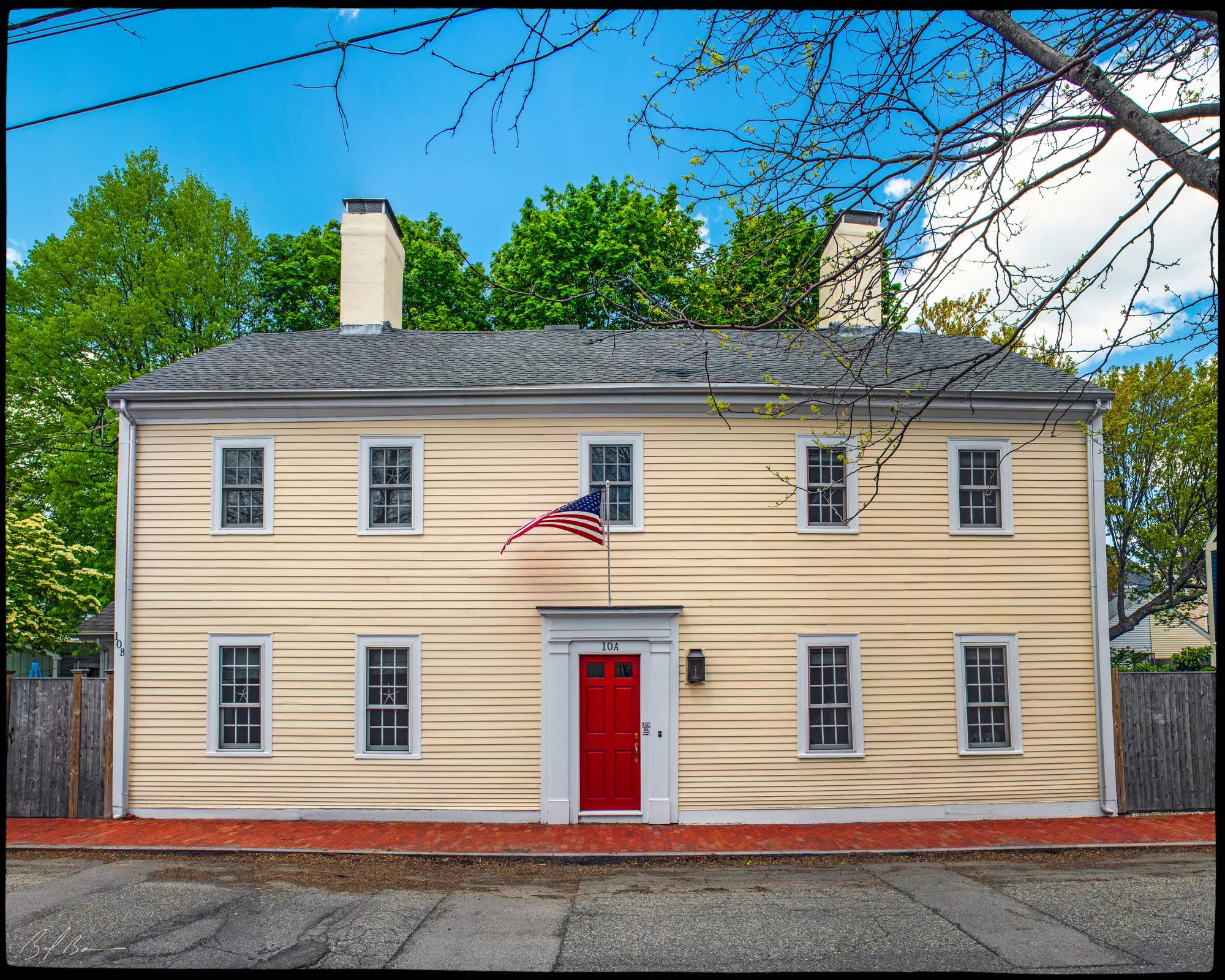
Numbers 6, 8 and 10 were the only houses left on Independent Street when it was surveyed. The area lay close to the Merrimack River and Market Square and was part of the land Newbury residents settled when they moved to the waterside. Its first occupants are not documented.
Numbers 6 and 8 are probably the older pair, with long, steep roofs and altered doorways; 6 began as a three-bay house and later gained a fourth bay. Number 10 appears to have been built in one phase, with two interior end chimneys and six-over-six sash in the gable; its Doric doorway seems to be original.
By 1851 the neighborhood had taken on industry: the Globe Steam Mills, incorporated in 1845, built a four-story brick cotton factory at Independent, Water and Federal Streets the following year. In 1851 the residents were Ocean Bank president William Stone at 6, boot and shoe dealer Samuel Robinson at 8 and Moses E. Wheeler of Stearns and Wheeler at 10.
Summarized from the Massachusetts Historical Commission's area form. See the MACRIS record ↗