Toppan's Lane
MACRIS NWB.N · area form, 1973
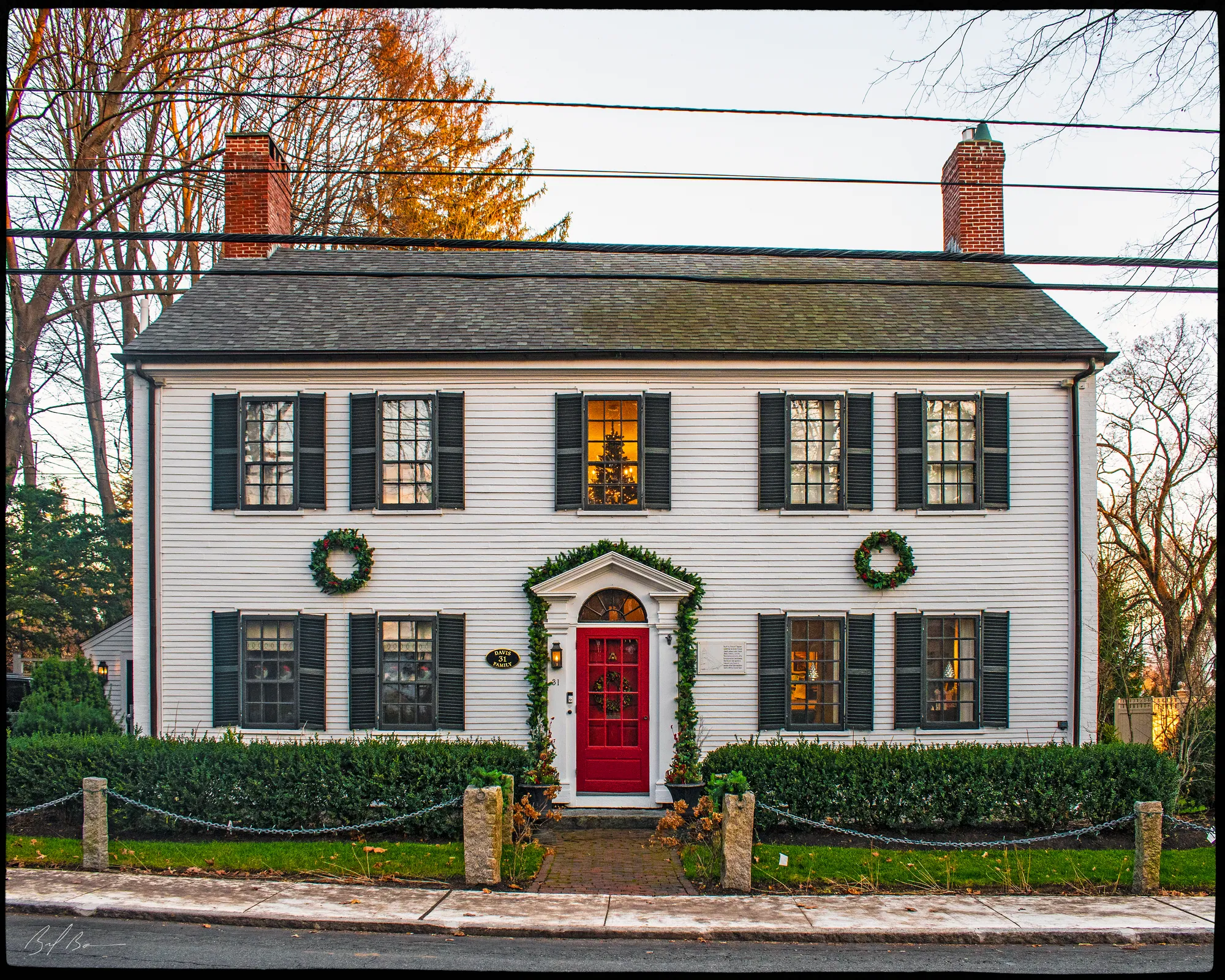
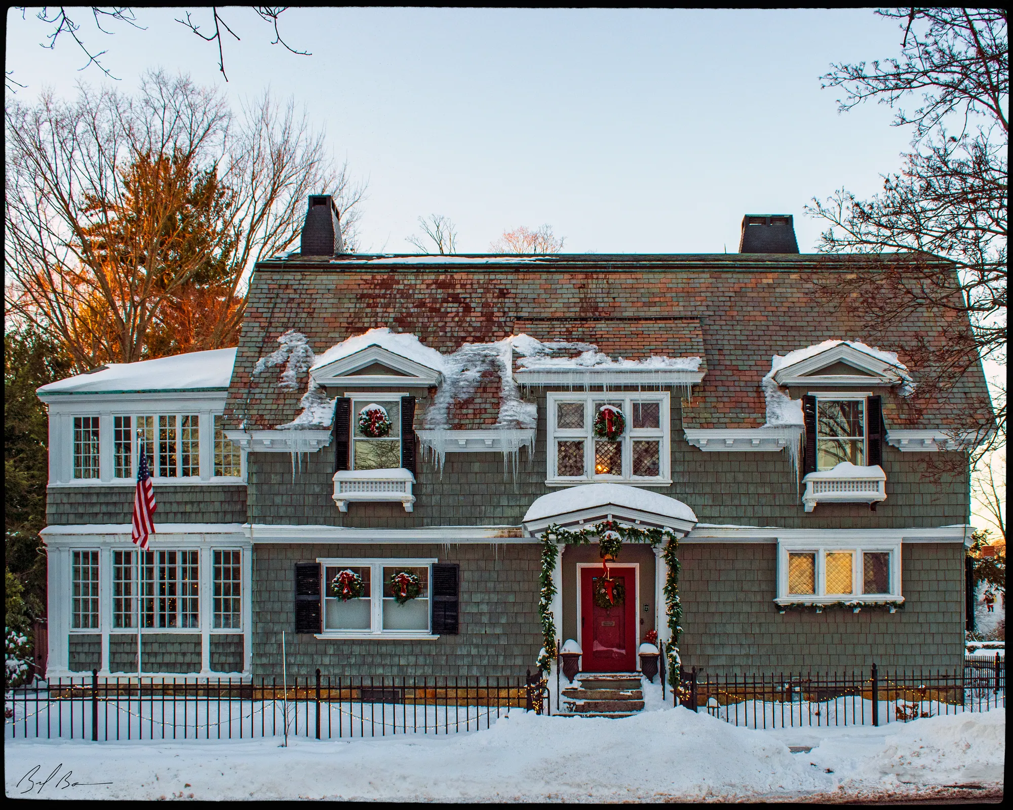
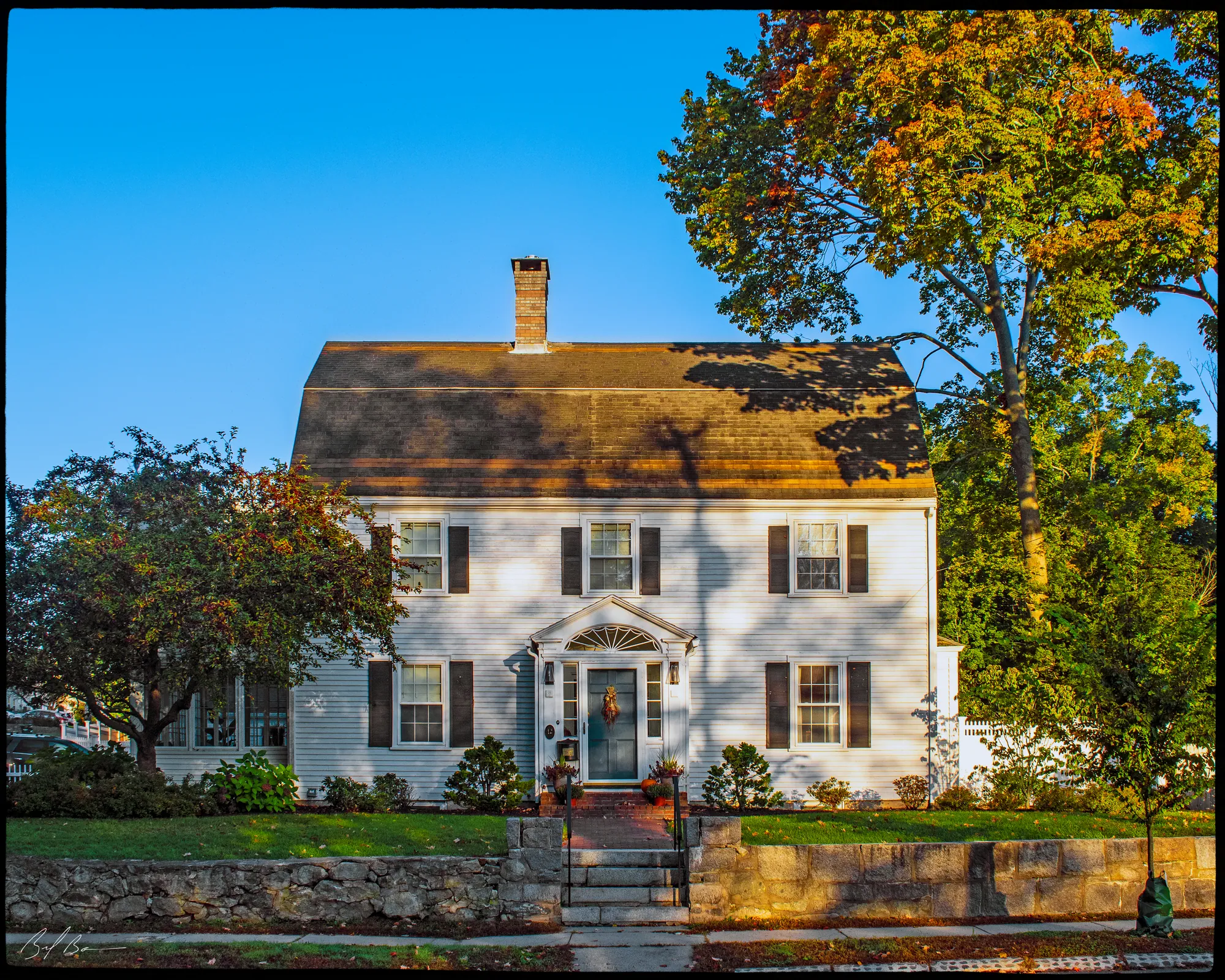
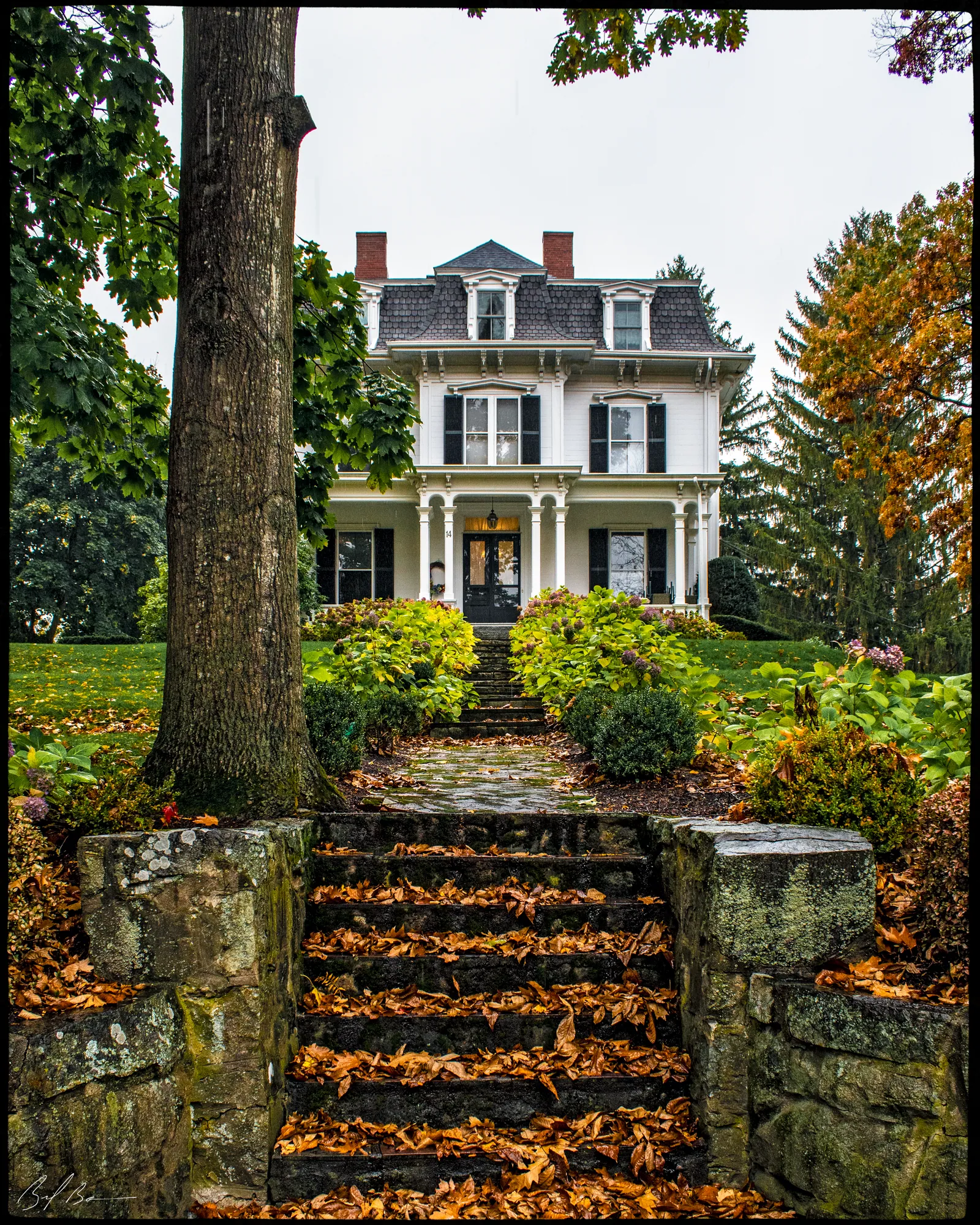
Toppan's Lane runs from High Street to Low Street. The survey states that in 1670 this tract of land was conveyed to Jacob Toppan, who built a large saltbox house on it. His descendants built their own houses along the lane over the following generations, and from 1670 to 1858 every house on the street belonged to a Toppan.
When the form was prepared in 1973, three Toppan houses were still standing: the Jacob Toppan House of 1670, the Stephen Toppan House of 1767 and the Edward Toppan House of 1819. The sketch map marks six houses on the lane, numbered 533 to 538, that were submitted on individual inventory forms.
Summarized from the Massachusetts Historical Commission's area form. See the MACRIS record ↗