- Built
- c. 1840
- Style
- Vernacular Vernacular
- MACRIS
- NWB.2660 ↗
History
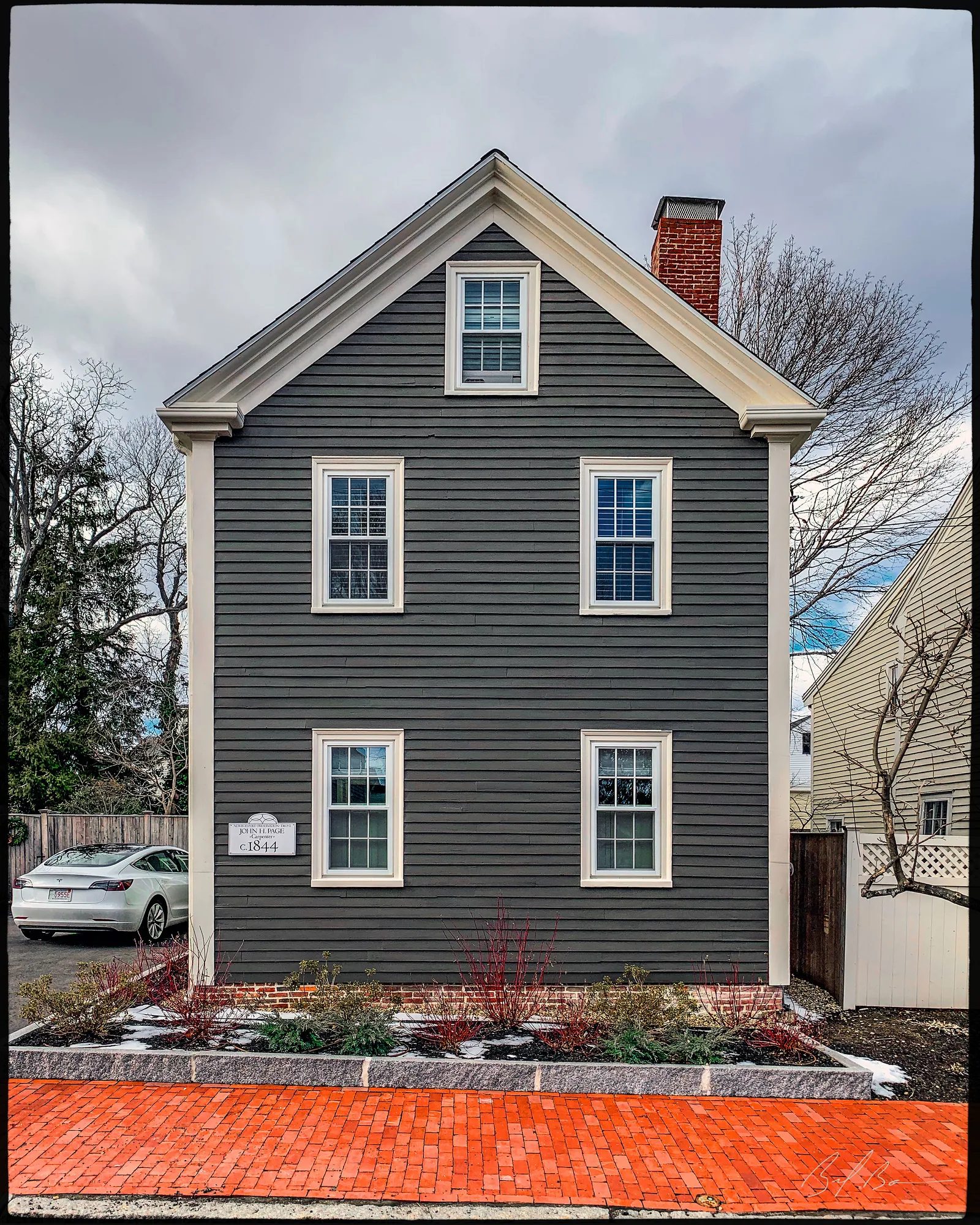
The buildings presently standing on Fair Street below Liberty Street date from 1840 to 1890. Most were built between 1840 and 1851, including 12 Fair Street. They are vernacular Greek Revival with pitched roofs with gables facing the street. The 1851 inhabitant of 12 Fair Street was Elias Pike.
Pike was a pump-and-block maker and had his business here, while his residence was across the street at 11 Pike Street. His sons, William and George Pike, also had a business at 12 Fair Street, up until 1889, when Mrs. Jere R. Ireland purchased the home for $1700 from George Pike.
Planning work on this building?
Reviews that may apply
Newburyport Historic District (National Register, listed 1984), contributing in the 1984 nomination · Downtown Overlay District (DOD) · Parcel 8-24 · Zone B2
Planning Board decides
Downtown, new construction, alteration or demolition of a historic building (individually listed or contributing in 1984) needs a DOD special permit, judged against the Secretary of the Interior's Standards; the Historical Commission sends an advisory report. Replacing windows, doors, signs, awnings or fences is reviewed by the Planning Office at staff level, with a window inventory; a new opening in a wall needs the Board. The demolition delay ordinance does not apply downtown except to work the Zoning Administrator excludes from DOD review.
Zoning Administrator first stop
Every project starts with a zoning determination from the Zoning Administrator, which says which of these reviews apply and whether the work also needs zoning relief (a special permit for a non-conformity, or a variance). Fees, forms and filing deadlines are on the City’s site.
Not legal advice, not an official City publication, and not the position of the Historical Commission or any board. Says what the ordinances say as of September 30, 2026; the Zoning Administrator decides what applies. Boundaries: Merrimack Valley Planning Commission / City of Newburyport GIS (MIMAP); 1984 status from the National Register nomination's district data sheets. City's quick guide to the DCOD and demolition delay ↗ · Do I need approval? Project by project →
From the archive
9 items · maps, papers, old photographs
More built 1830–1860
Sources
- Massachusetts Cultural Resource Information System, NWB.2660, NWB.AH