- Built
- c. 1700
- Style
- Central-chimney ¾ house Colonial
- Neighborhood
- South End District
- MACRIS
- NWB.759 ↗
- Formerly
- 69 Federal Street
History
The house is estimated to have been built around 1700, making it one of the earliest homes in the City. The architecture is in the classic First Period style. The barn behind the home, which saw so many former slaves huddled within it, is long gone. The house itself has been lovingly restored.
This home is well known on the national scene, and the National Park Service features it in its Underground Railroad story in Essex County. Unfortunately, the house is listed at 62 Federal Street – on the wrong side of the street and much further down. The NPS, through the Essex Heritage Commission, needs to correct this misstatement.
Capt. Alexander Graves, Mr. William Jackman, and Richard Plumer were all active on the Underground Railroad in Newburyport. The Plumer house had a barn in the rear where fugitives were hidden. Plumer’s young son, Wendell Phillips Plumer, would ride in the wagon at night when his father drove to the south end of town to meet escapees brought from Ipswich by the bridge over the Parker River. Fugitives were hidden among the grain and driven. However, the city to Mr. Jackman’s house near the Chain Bridge, and Jackman took them to Amesbury or as far as Lee, New Hampshire. Sometimes, Mr. Plumer would cross the Merrimack and take the fugitives directly to Amesbury, delivering them to John Greenleaf Whittier or his agent.
Mr. Plumer also owned the Coffin House just over the border in Newbury. Sometimes, if he felt the house was being watched, he would drop off his ‘cargo’ at the Coffin House until he thought it was safe enough to hand them off to Mr. Jackman. Since using regular paths was a sure way to be caught, passengers who were picked up at the Parker River Bridge were often transported to the Turkey Hill Farm homestead overlooking the Artichoke.
Planning work on this building?
Reviews that may apply
Newburyport Historic District (National Register, listed 1984), contributing in the 1984 nomination · Demolition Control Overlay District (DCOD) · Parcel 18-79 · Zone R2
Zoning Board of Appeals decides
Listed as contributing in 1984, so removing more than 25% of its exterior walls, counted cumulatively since 2014 and including walls enclosed by an addition or openings filled in, needs a DCOD special permit; the Board may grant one only if the building retains no substantial remaining market value or reasonable use. The Historical Commission sends an advisory report. Replacing siding, or windows and doors in their openings, does not count.
Newburyport Historical Commission decides whether to impose a delay
Built c. 1700, so 75 or more years old: removing more than 25% of its exterior walls, changing the roofline (pitch, towers, cupolas, anything projecting above the roof), moving it, or adding a dormer that misses the setback and pitch rules is "demolition" under the demolition delay ordinance. The Commission holds a hearing within 30 days and may impose a delay of up to 18 months. In the DCOD the wall test goes to the Zoning Board instead; the Commission keeps roofline, roof pitch and dormer work. Parts of the building documented as younger than 75 years are excluded on a written determination by the Zoning Administrator.
Code of Ordinances ch. 5 art. X, §§5-307–5-308 (June 2026) ↗
Zoning Administrator first stop
Every project starts with a zoning determination from the Zoning Administrator, which says which of these reviews apply and whether the work also needs zoning relief (a special permit for a non-conformity, or a variance). Fees, forms and filing deadlines are on the City’s site.
Not legal advice, not an official City publication, and not the position of the Historical Commission or any board. Says what the ordinances say as of September 30, 2026; the Zoning Administrator decides what applies. Boundaries: Merrimack Valley Planning Commission / City of Newburyport GIS (MIMAP); 1984 status from the National Register nomination's district data sheets. City's quick guide to the DCOD and demolition delay ↗ · Do I need approval? Project by project →
More photos
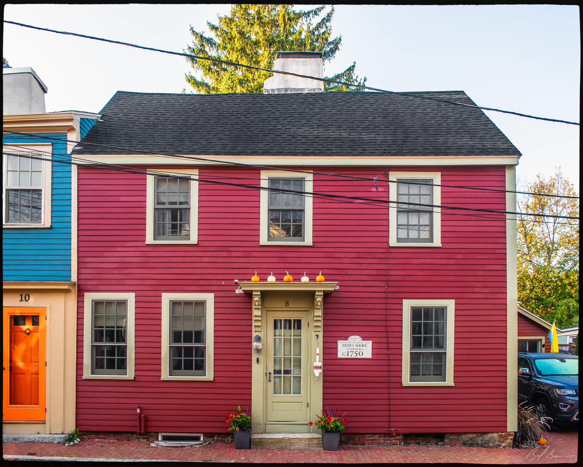
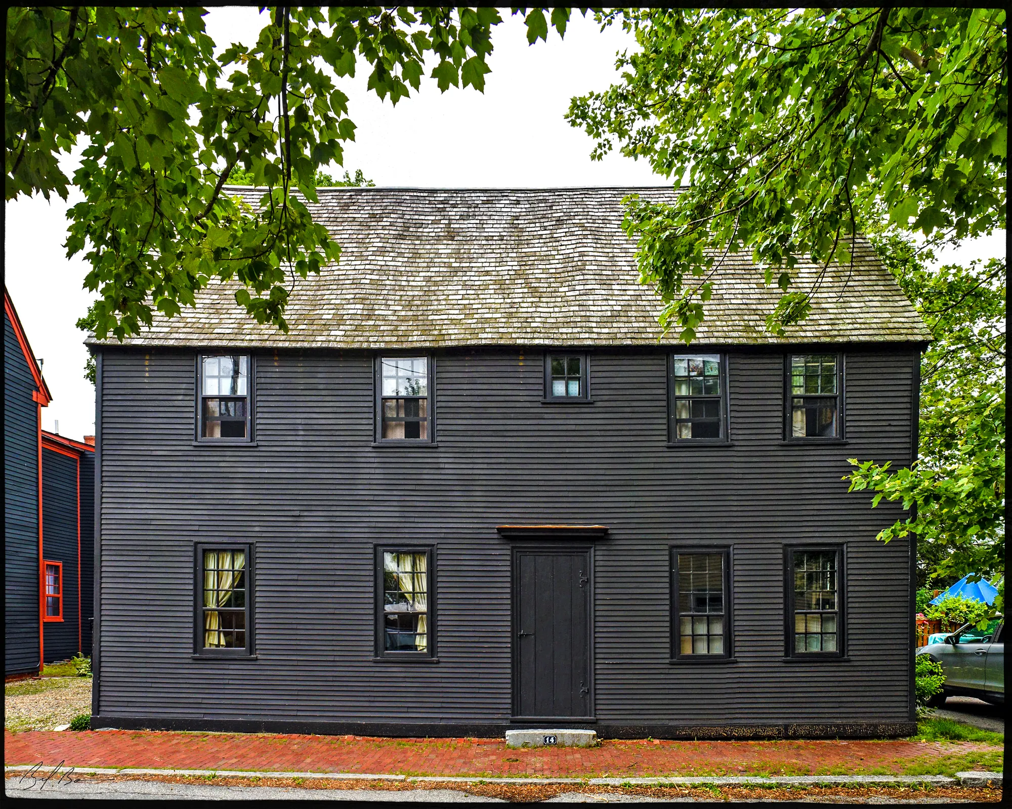
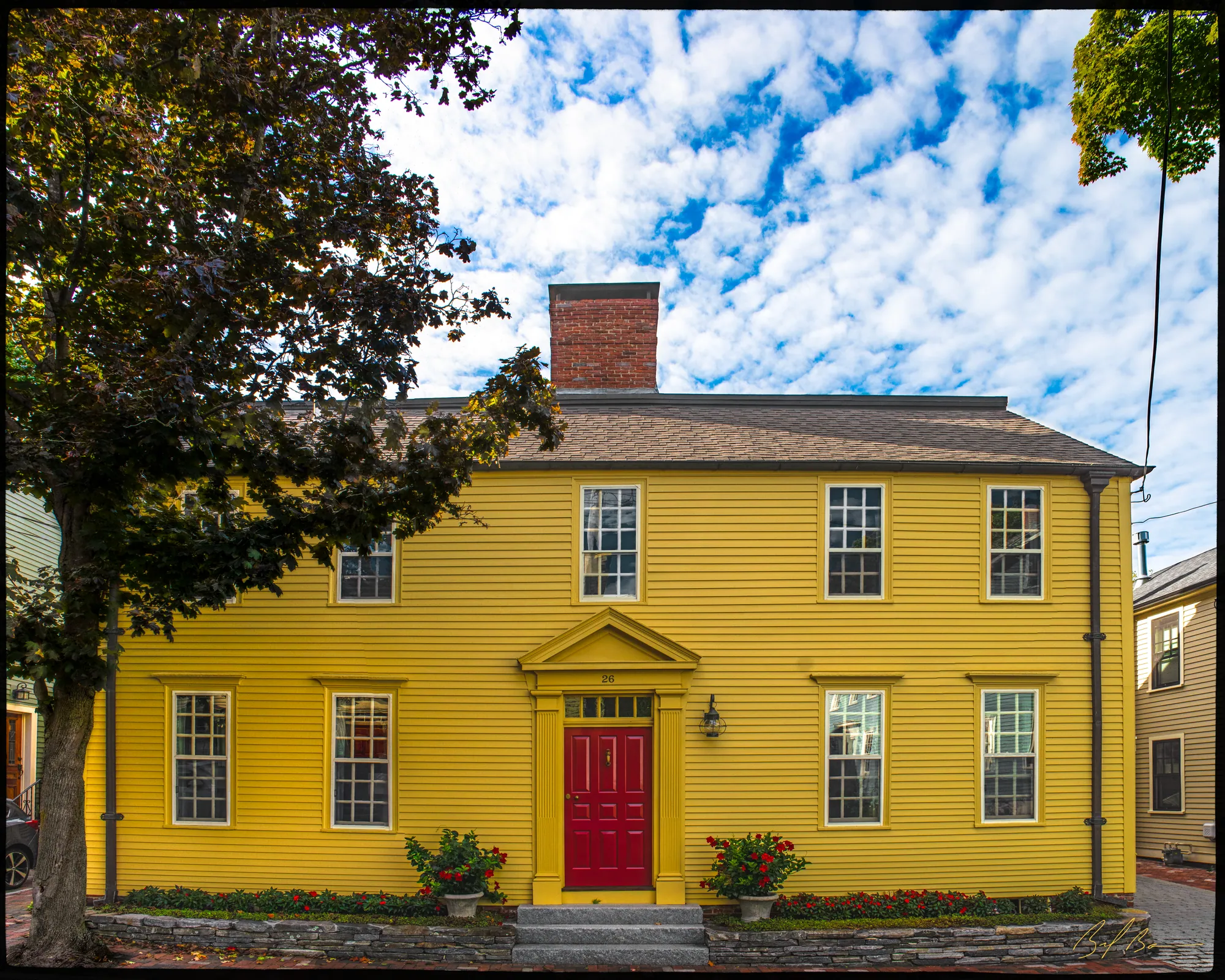
3 views · Biff Bouse
Details
1 close-up
From the archive
4 items · maps, papers, old photographs
More built Before 1775
Sources
- Massachusetts Cultural Resource Information System, NWB.759
- 1914 Sanborn map, sheet 23 (Library of Congress, Geography and Map Division, Sanborn Maps Collection)