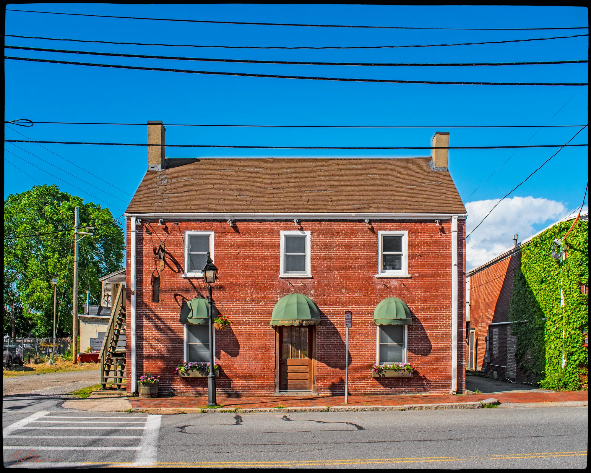
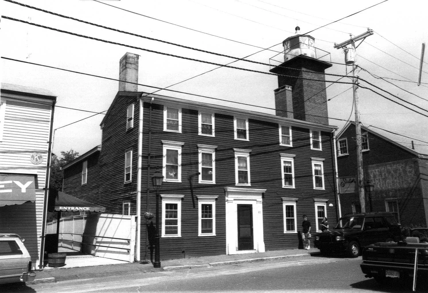
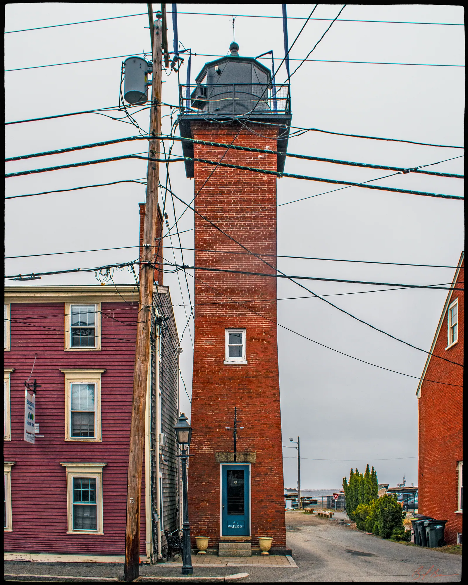
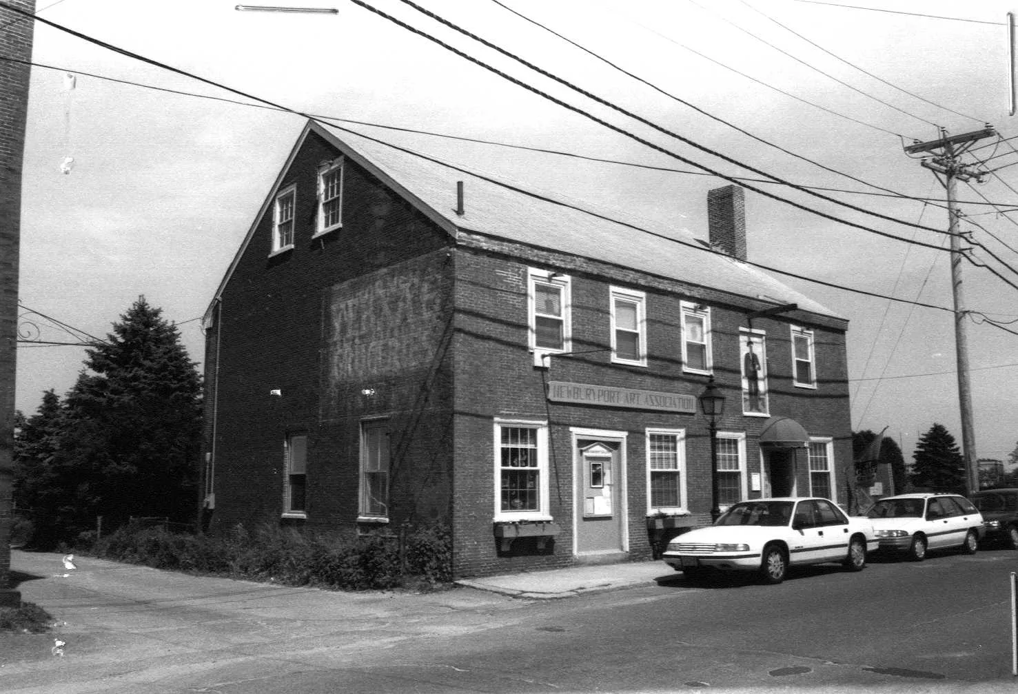
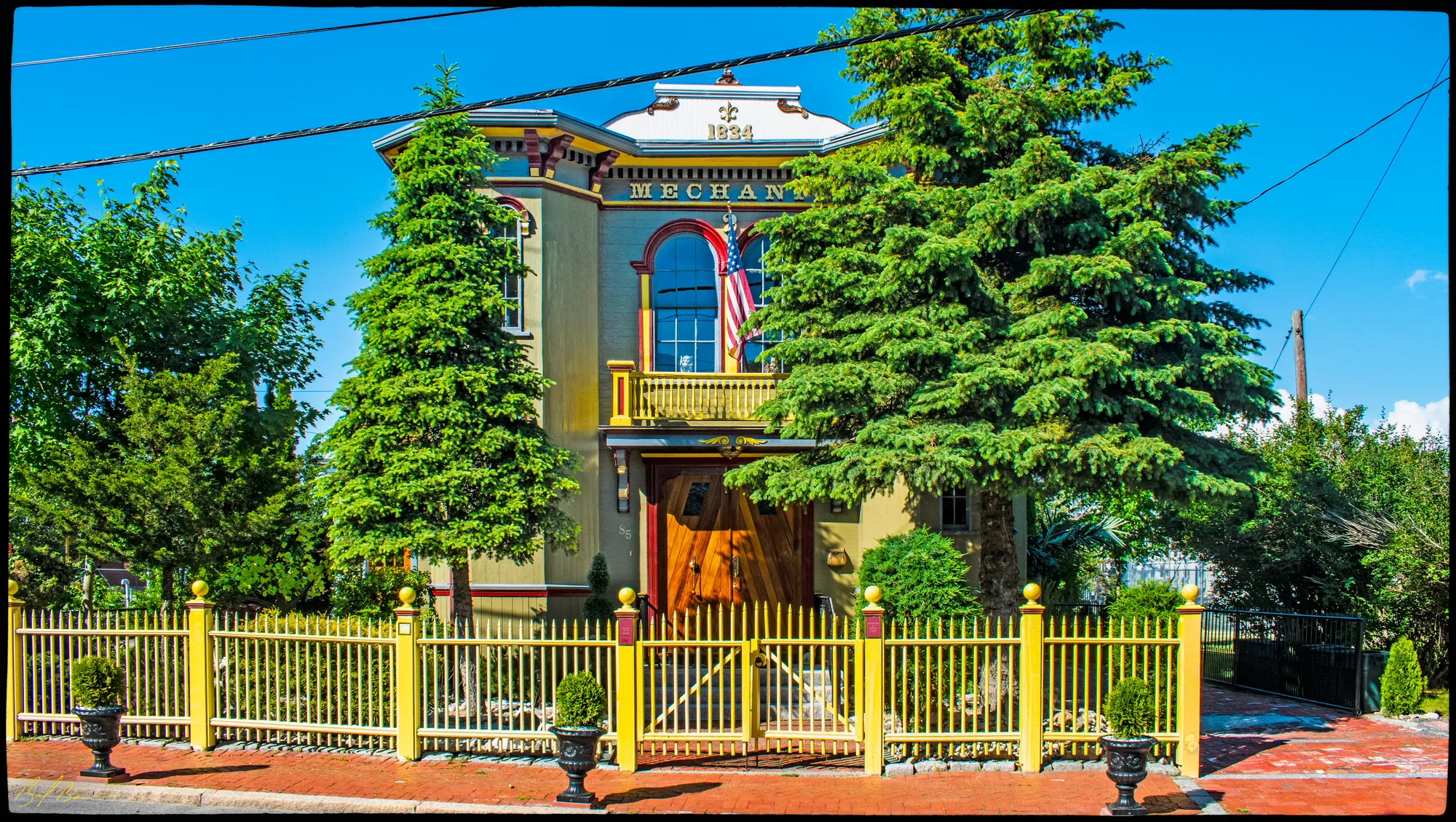
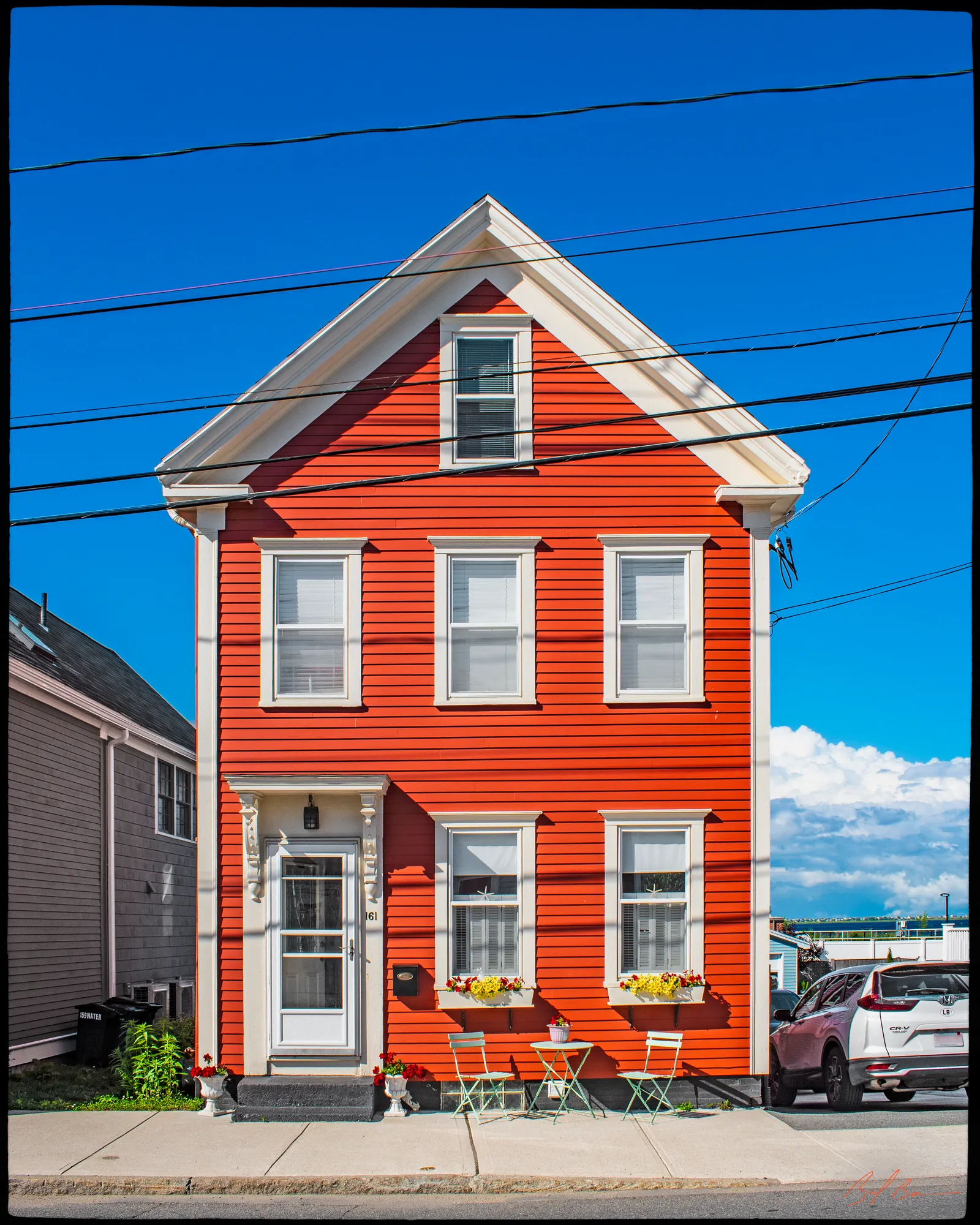
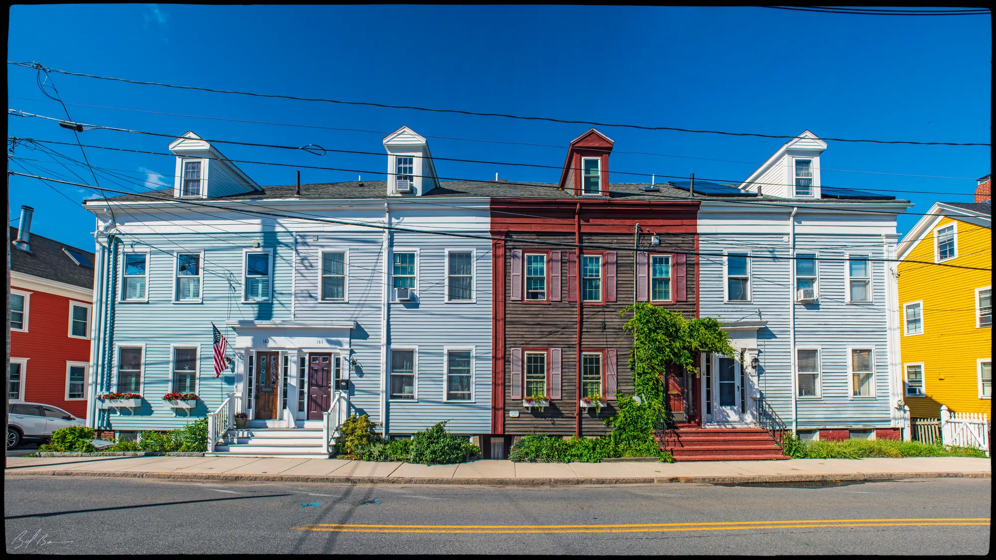
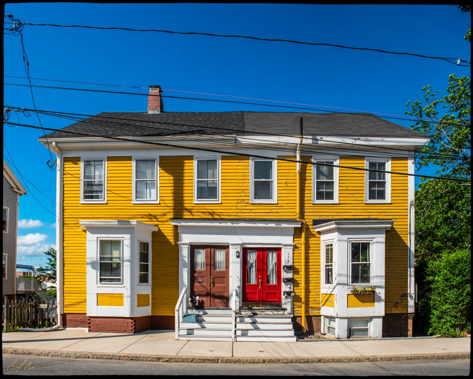
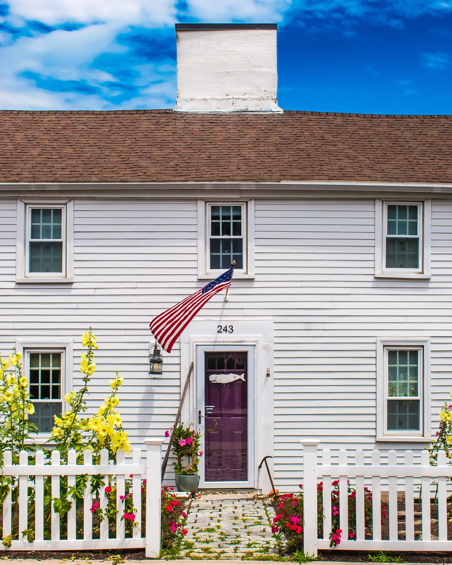
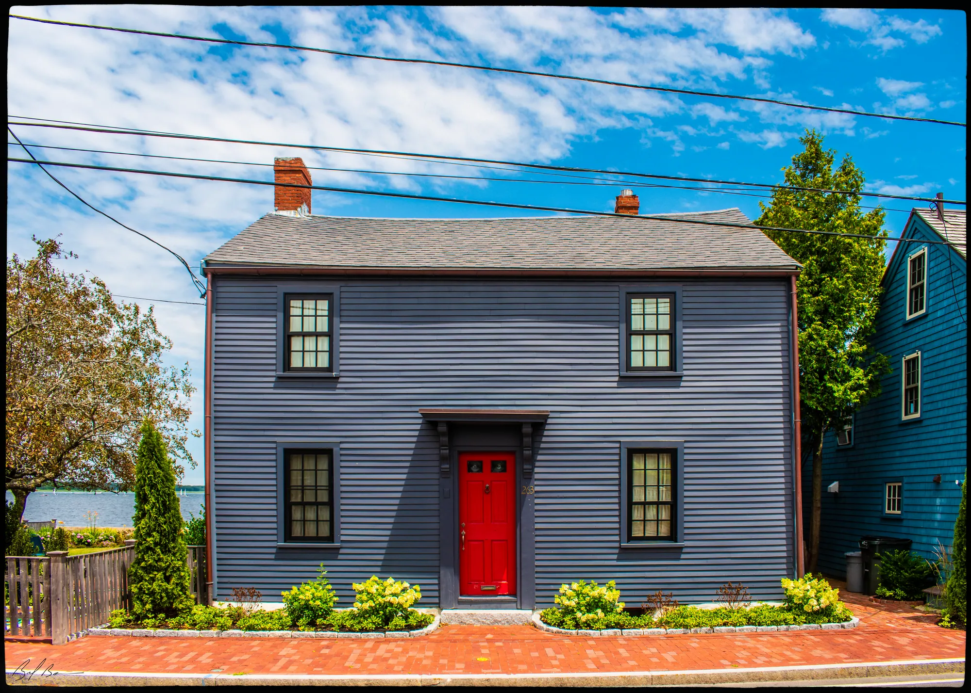
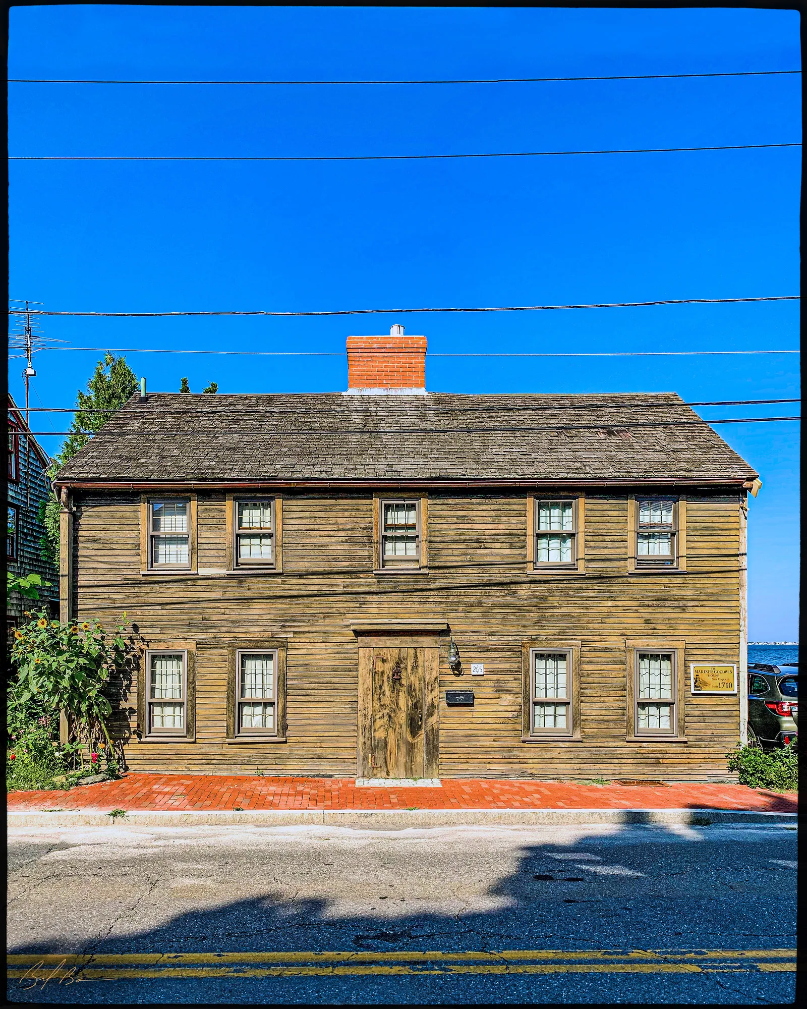
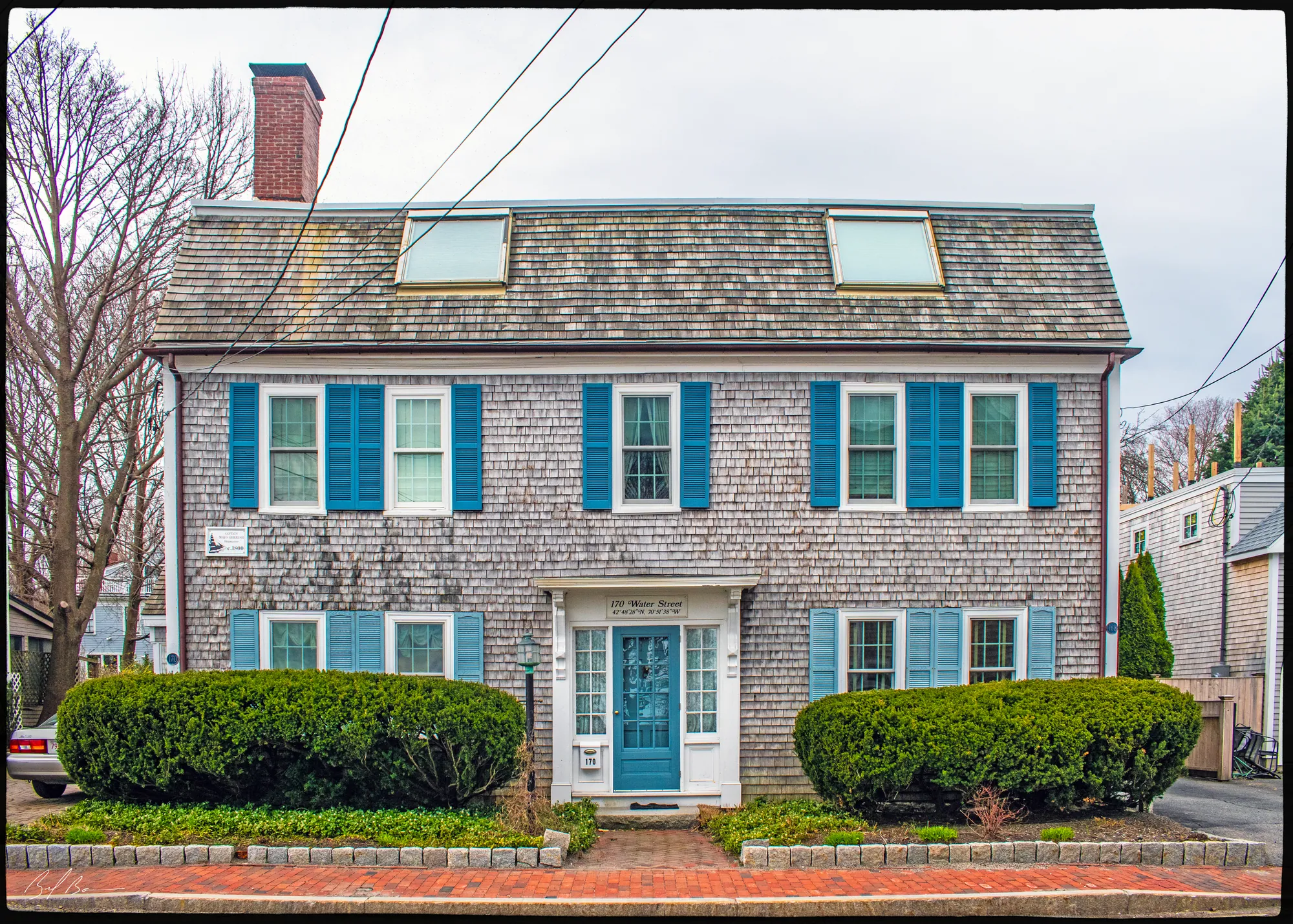
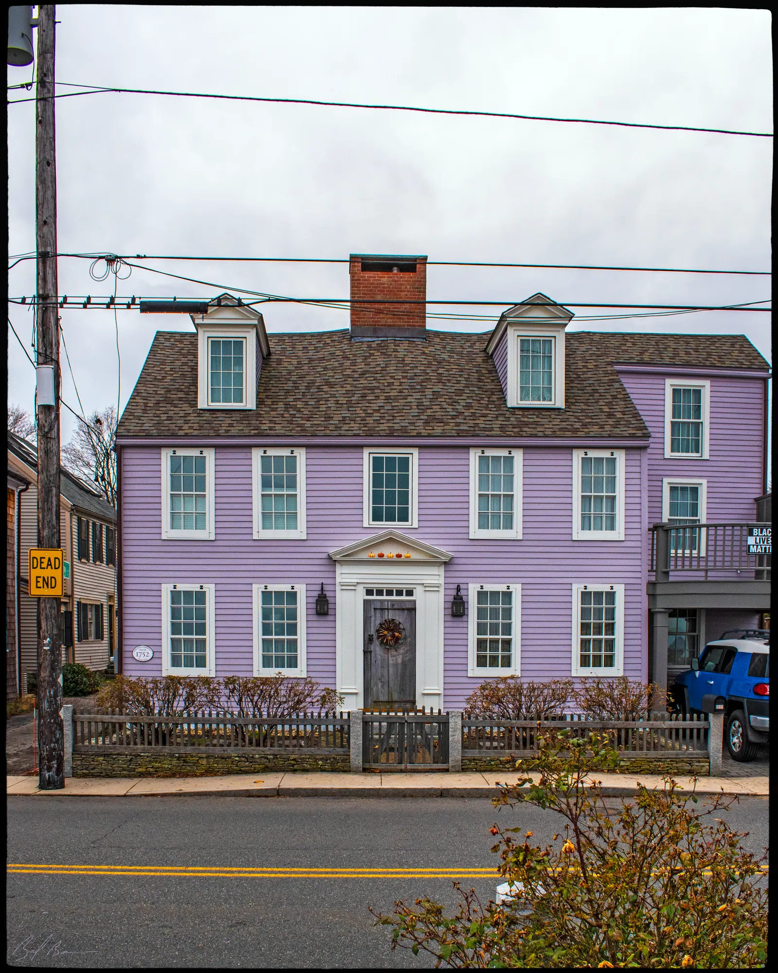
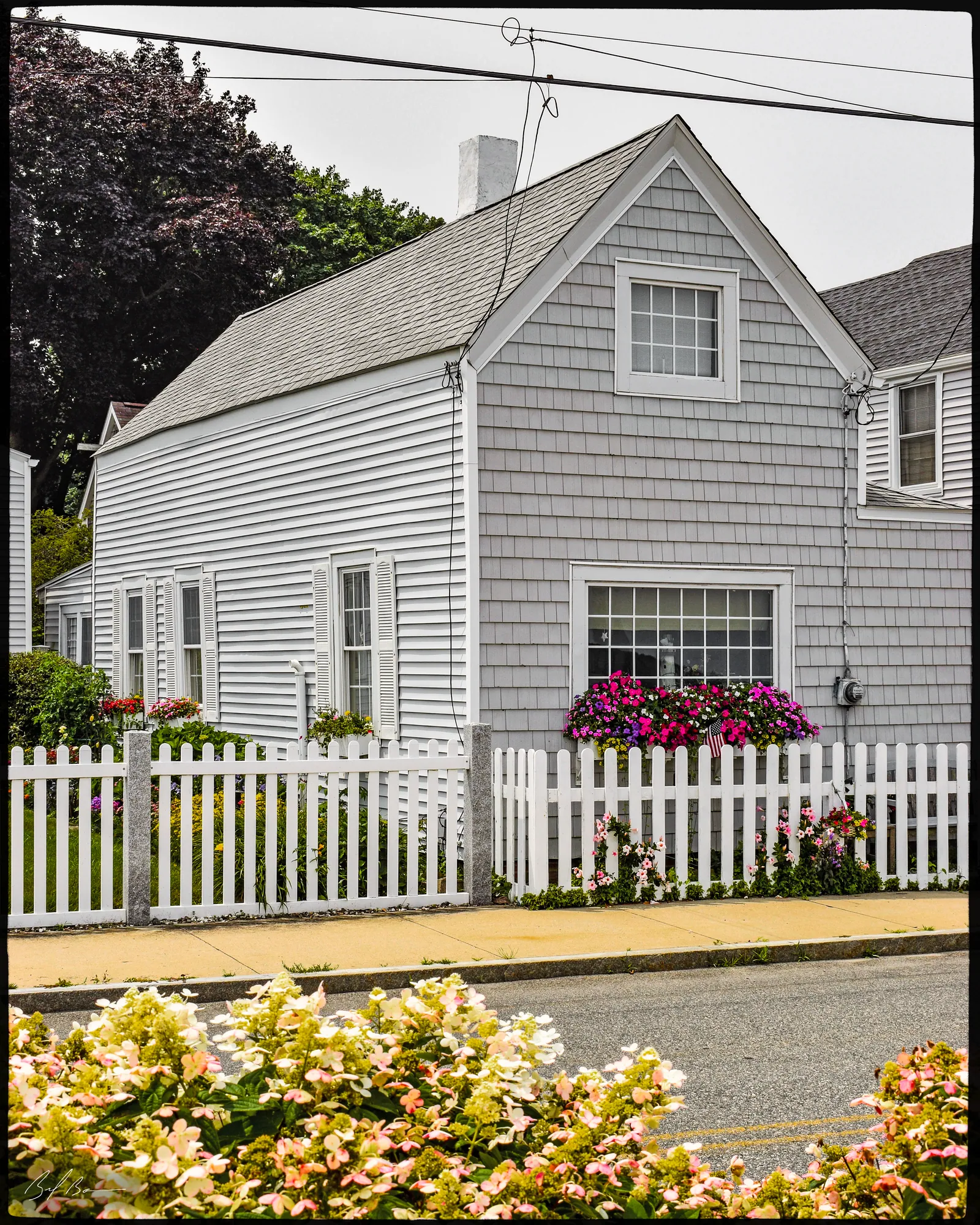
Water St.
MACRIS NWB.W · area form, 1973
Water Street follows the Merrimac River from Market Square south to the Plum Island Turnpike. The survey traces it to a way laid out in 1739 by the selectmen of Newbury, and notes that it was still called Merrimack Street in 1771 but appears as Water Street on the map of 1843. When the riverside strip was divided in 1715, ten landing places were kept for public use; the city closed those between the Middle Shipyard and Bromfield Street in 1873.
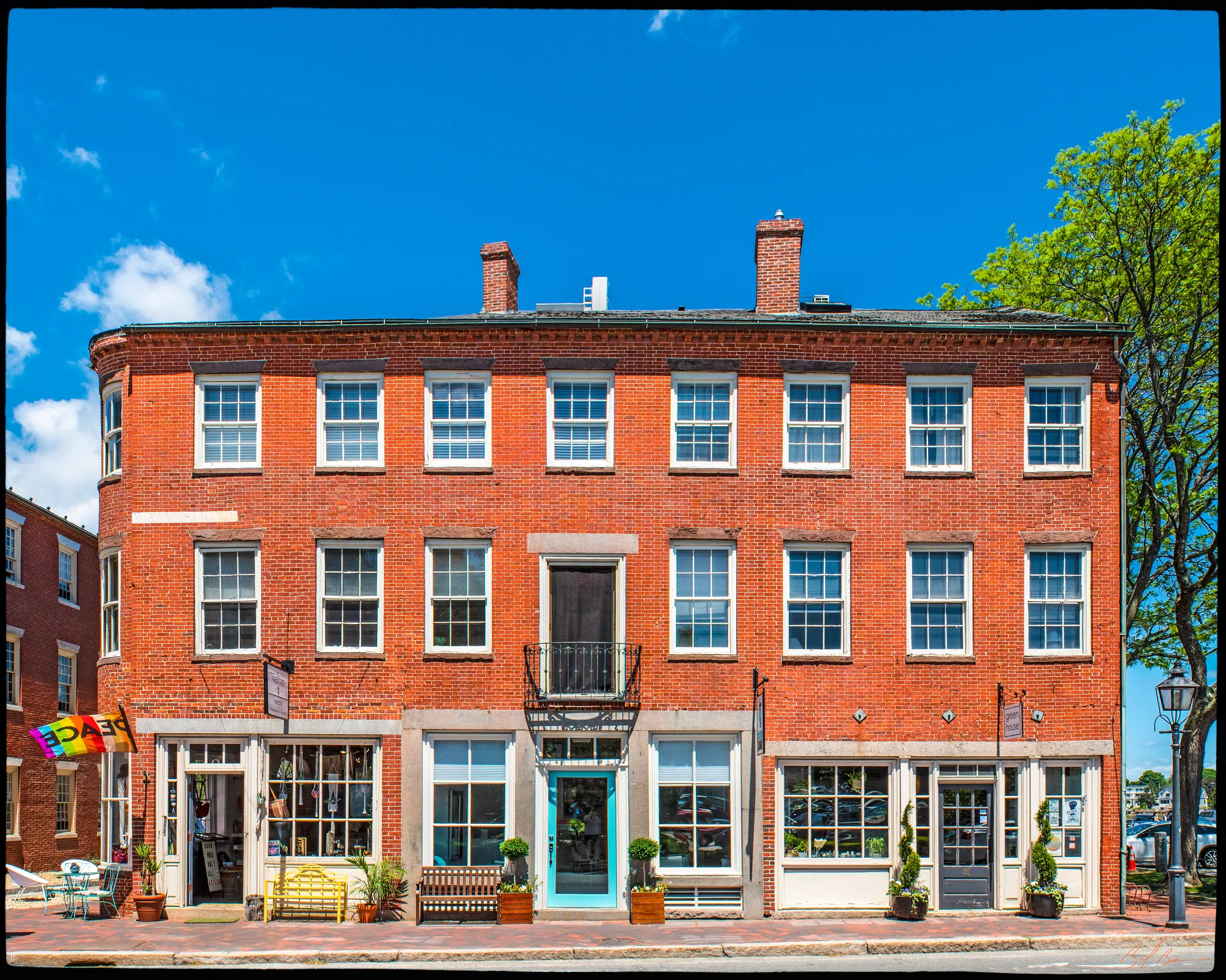
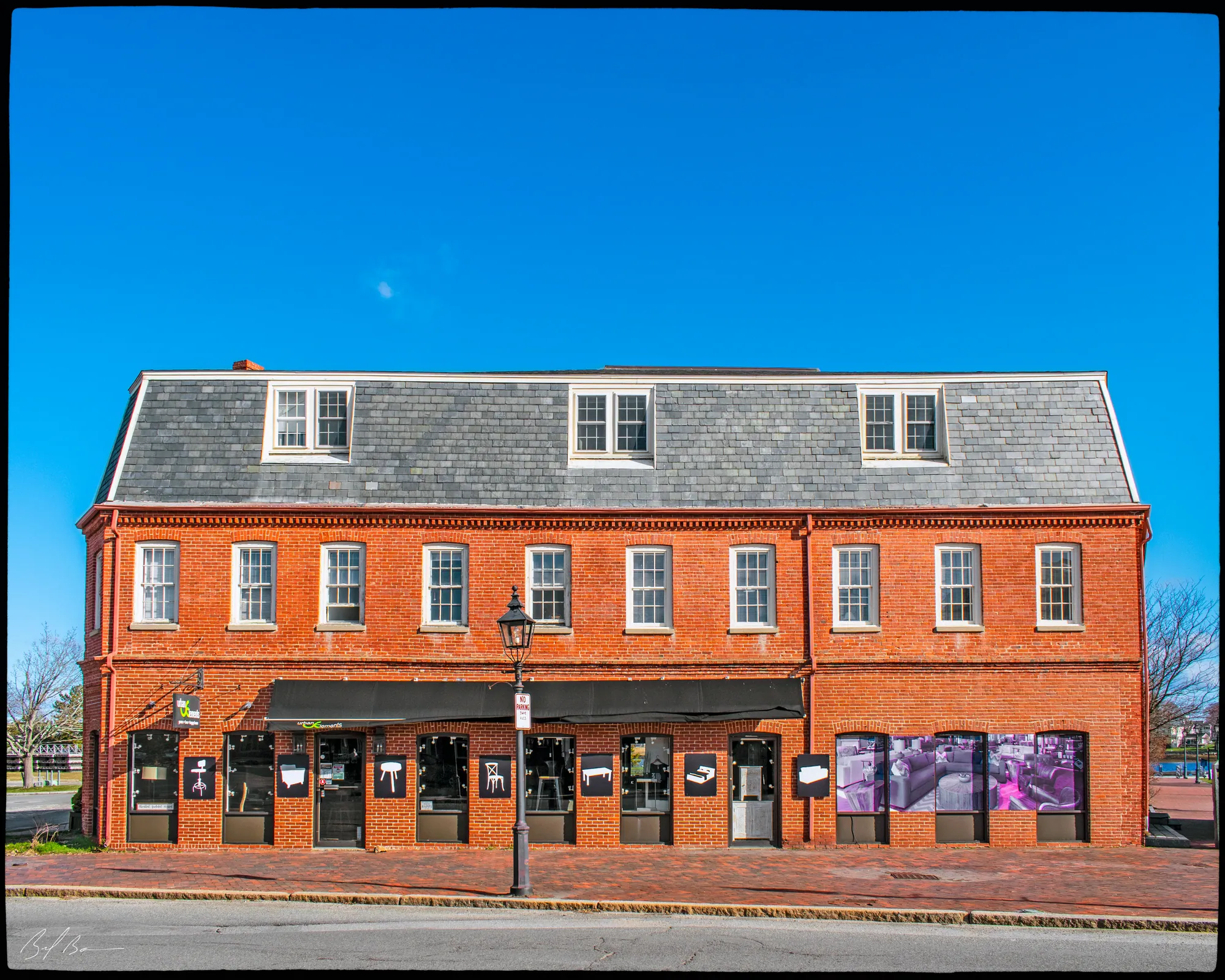
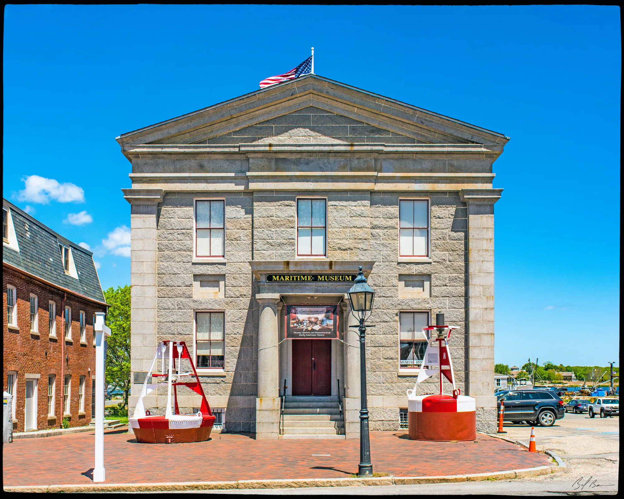
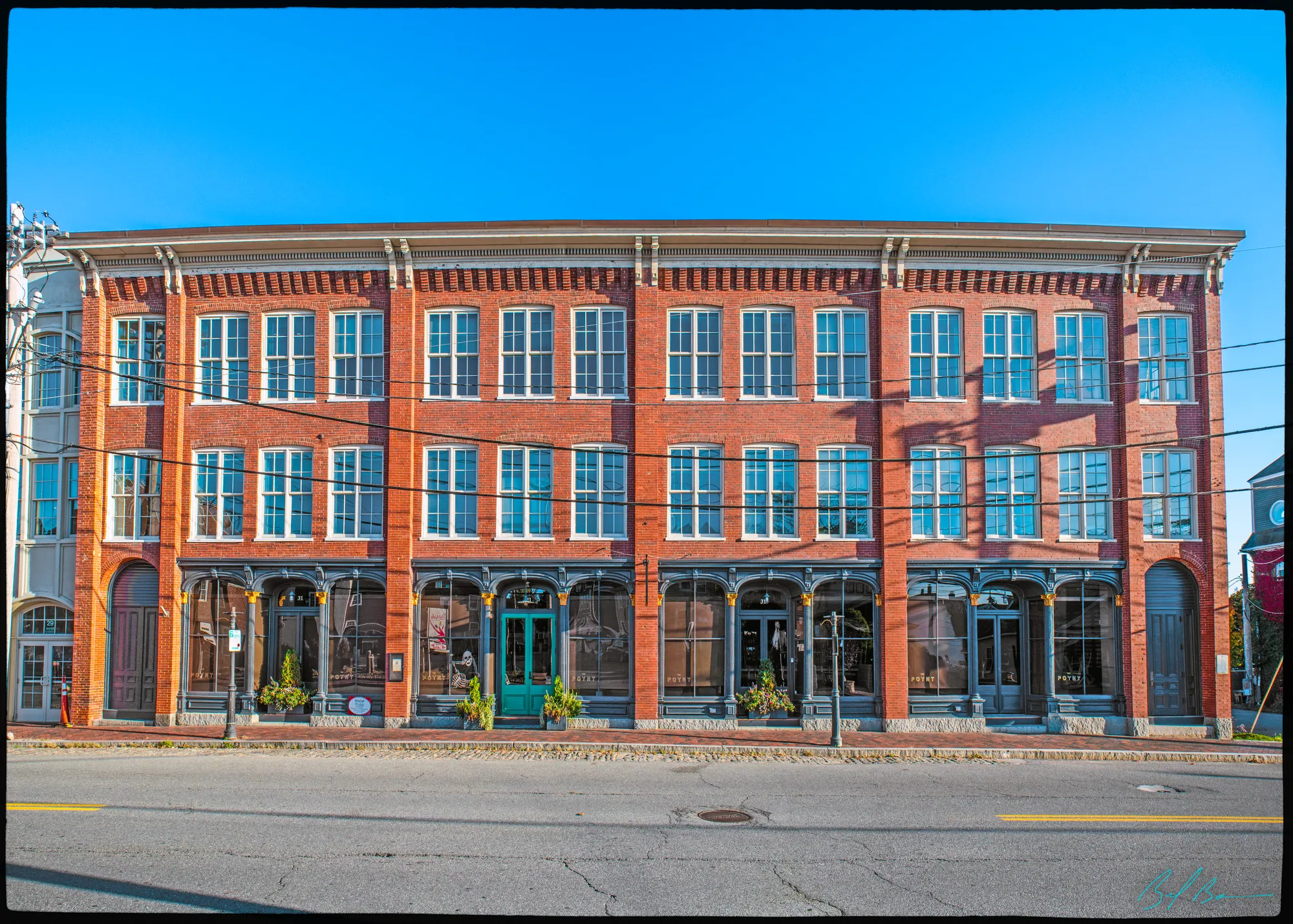
Near Market Square the street has three-story brick commercial buildings put up after the Fire of 1811, and the granite Custom House designed by Robert Mills, built in 1835 on land bought by the federal government in 1833. Many of the smaller houses farther along date from before the Revolution and were homes of people who worked on the waterfront. The form also records a ferry way of 1818 and small manufacturers of silverware, shoes and combs.
Summarized from the Massachusetts Historical Commission's area form. See the MACRIS record ↗