10 districts · 1,787 buildings in them · 53 survey areas in all
Neighborhoods
The state’s survey of Newburyport divides the city into areas: ten districts, a few legal designations and places, and dozens of single streets. Each has its buildings, its dates and its styles.
Districts
The state survey’s ten neighborhoods: groups of buildings that share a history, from the High Street ridge to the shipyards of the North End.
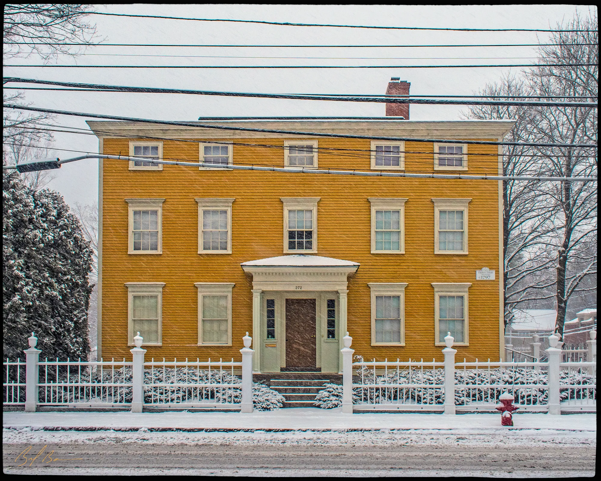 NWB.A · 1790–1940High Street District
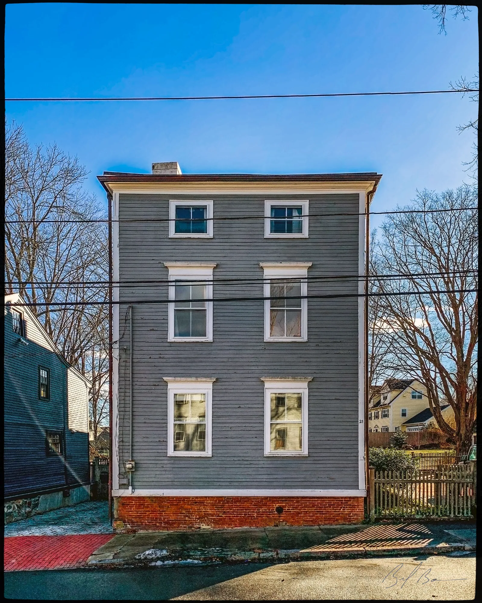 NWB.B · 1775–1880Ocean Mills District
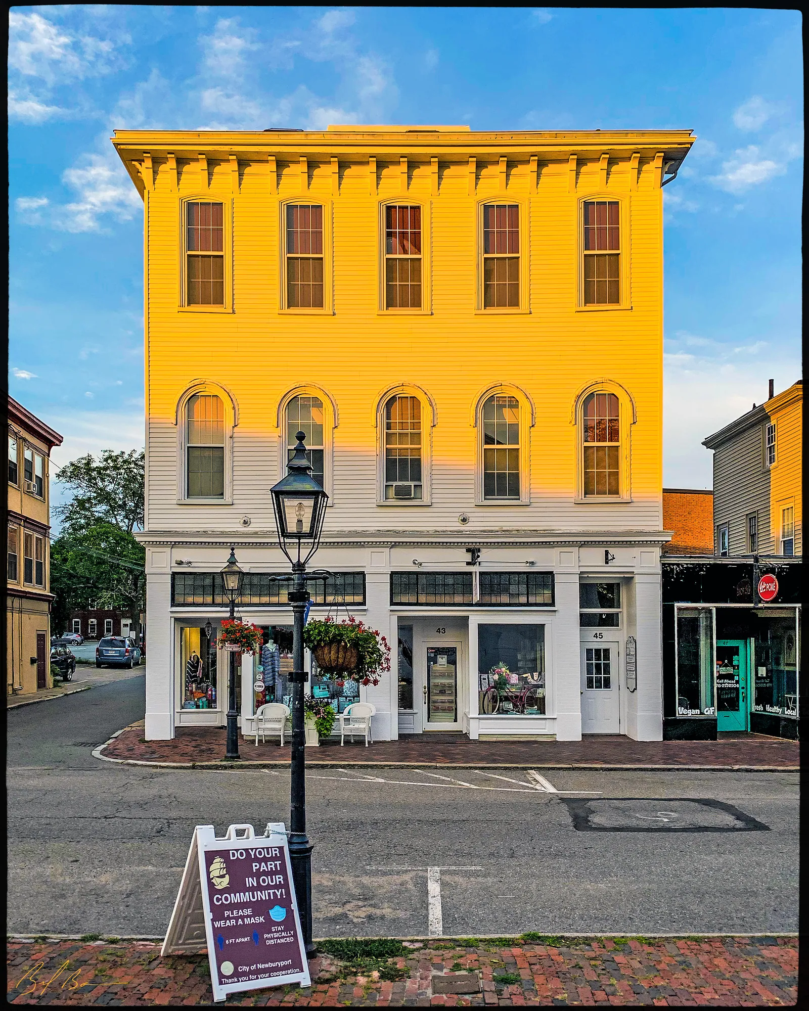 NWB.C · 1800–1900Pleasant Street Industrial District
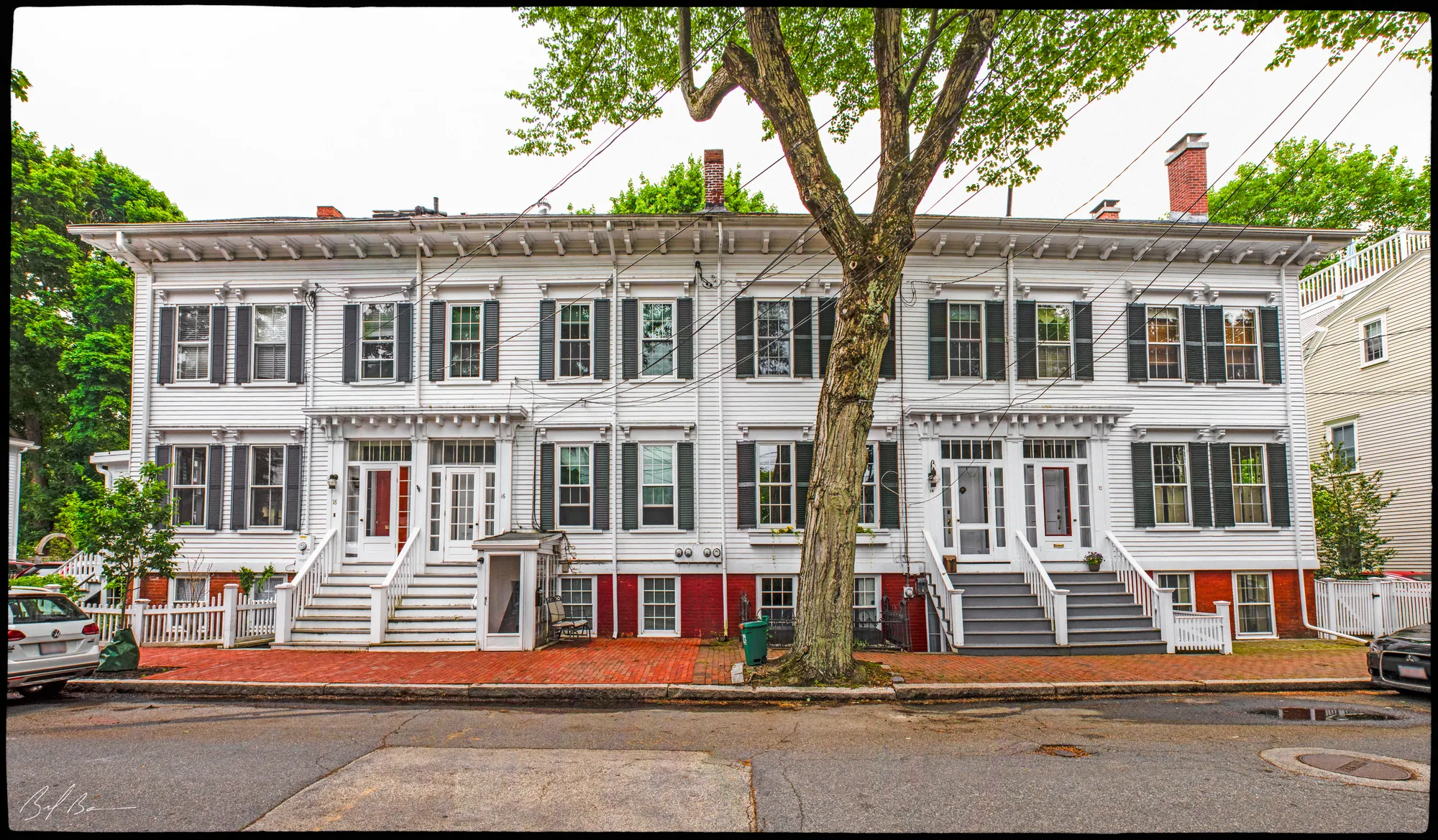 NWB.D · 1773–1890South End District
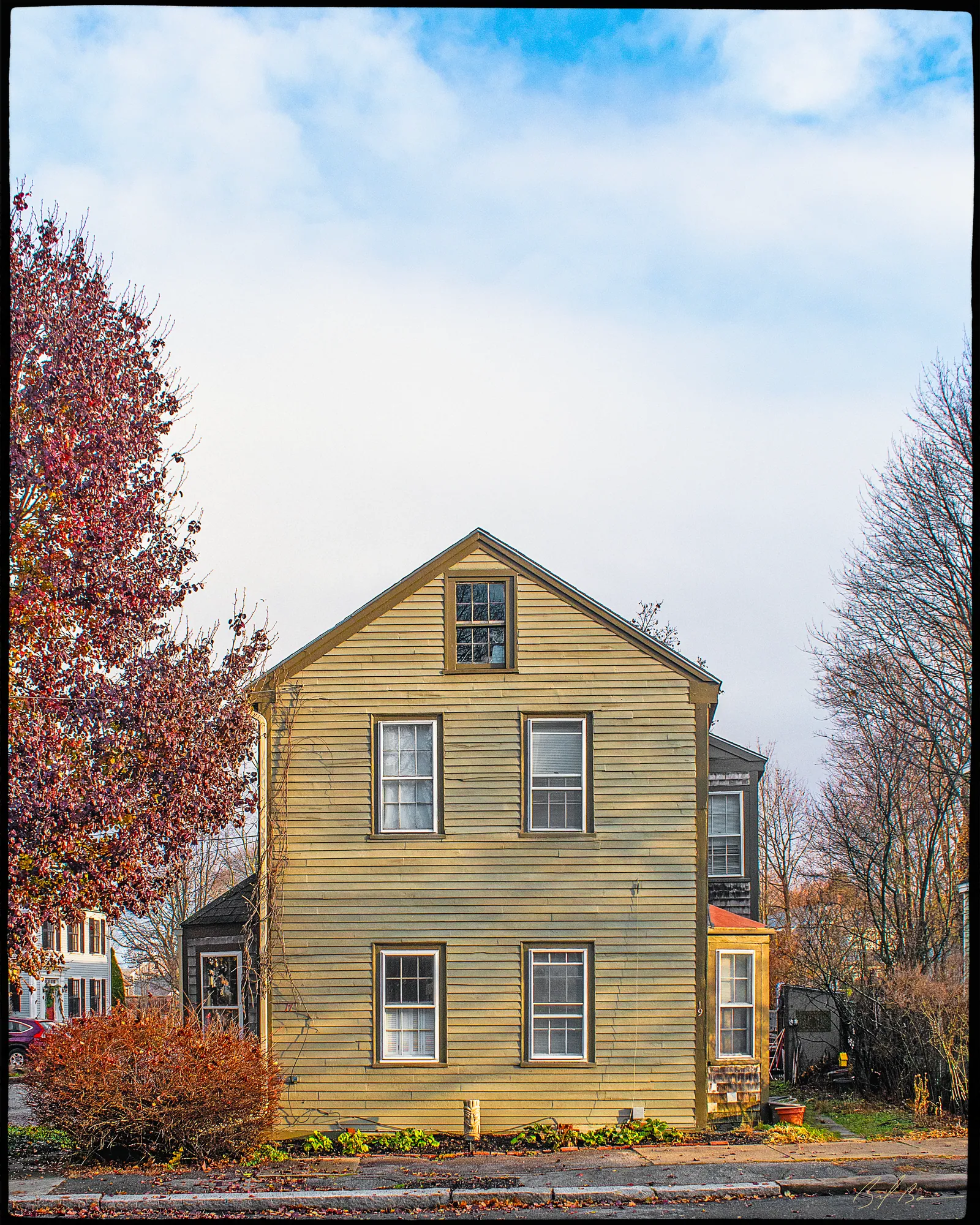 NWB.E · 1775–1889James Steam Mill District
- NWB.F · 1750–1910Joppa District
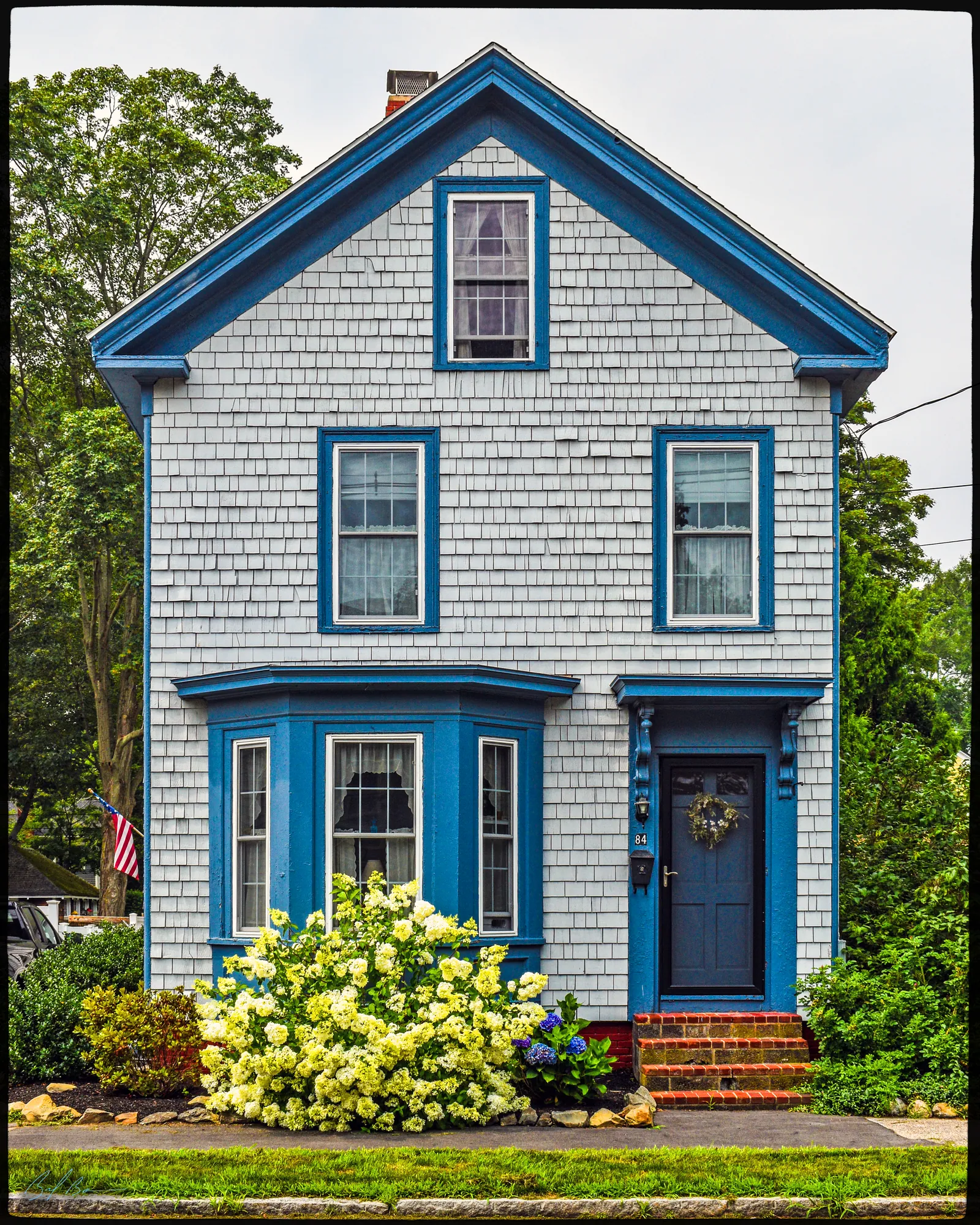 NWB.G · 1825–1949Victorian Residential District
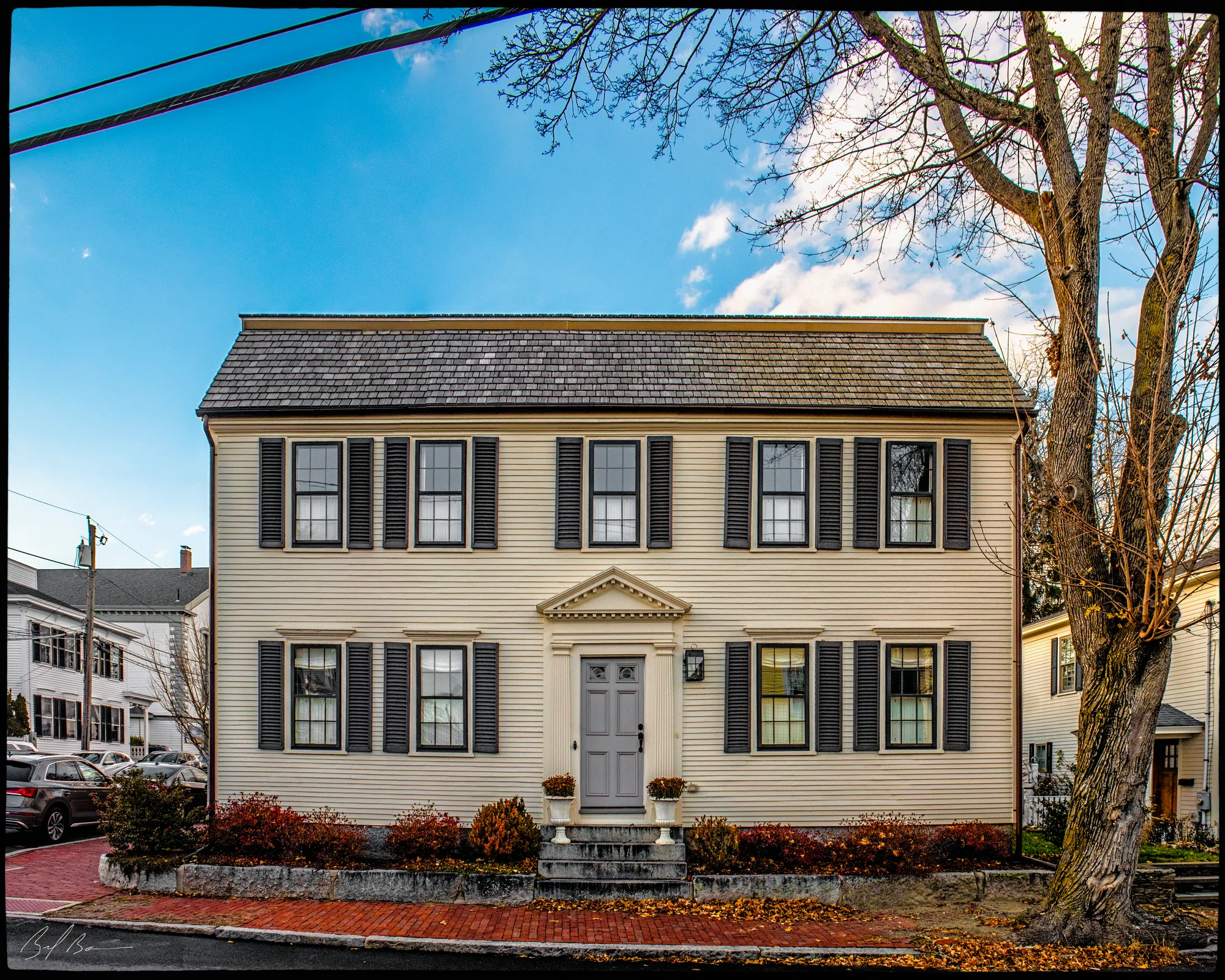 NWB.H · 1750–1885Washington Street Residential District
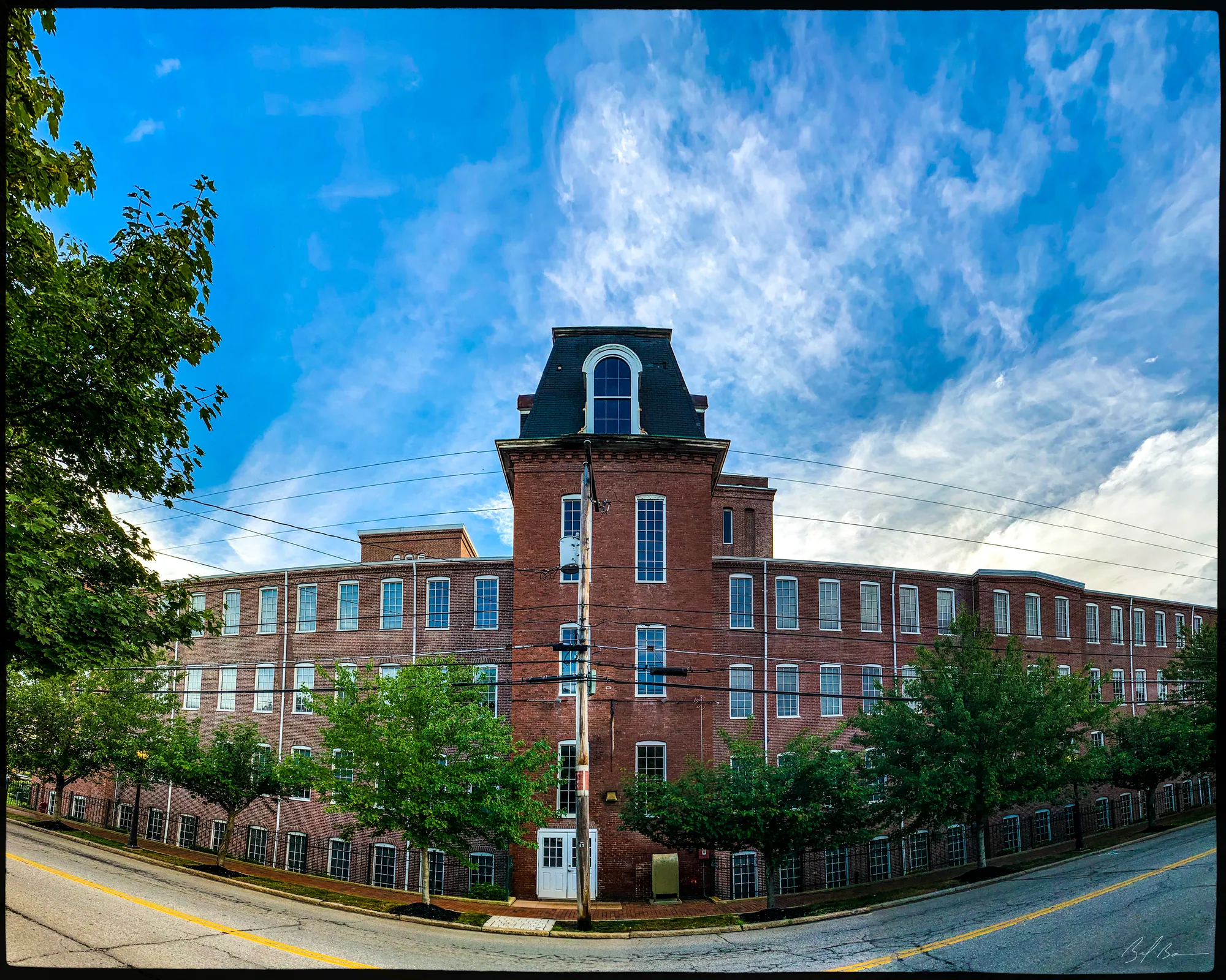 NWB.I · 1800–1930Merrimack Shipbuilding District
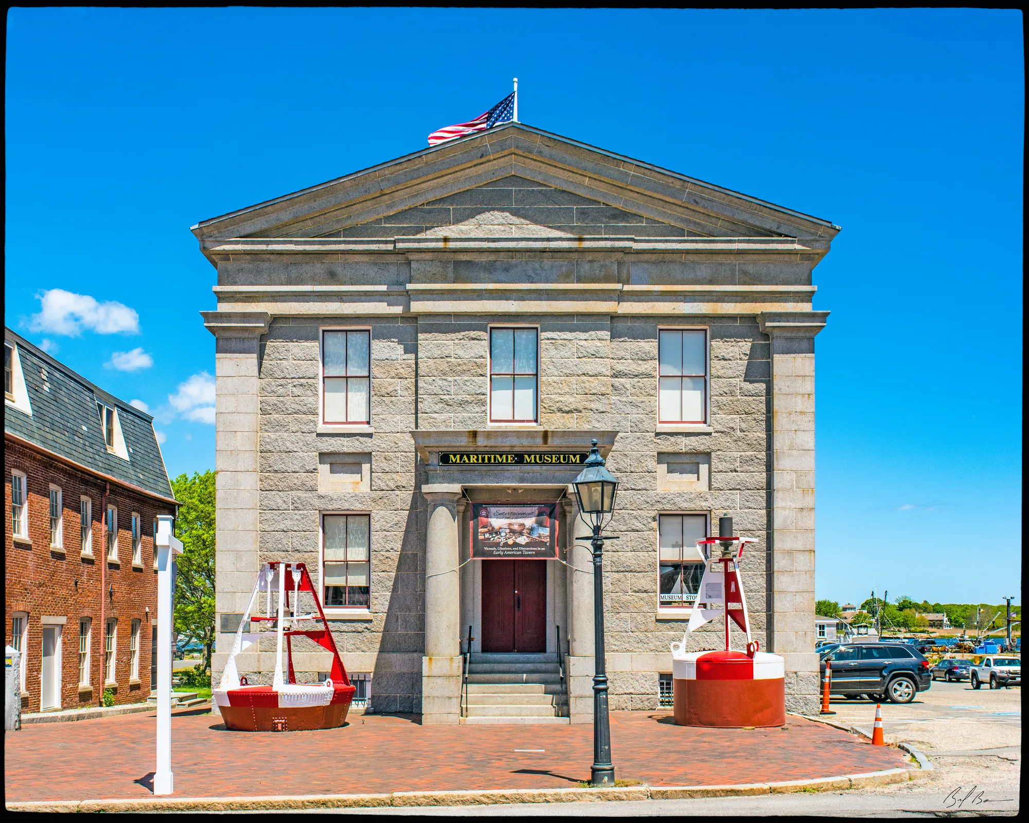 NWB.K · 1811–1873Market Square Historic District
Designations
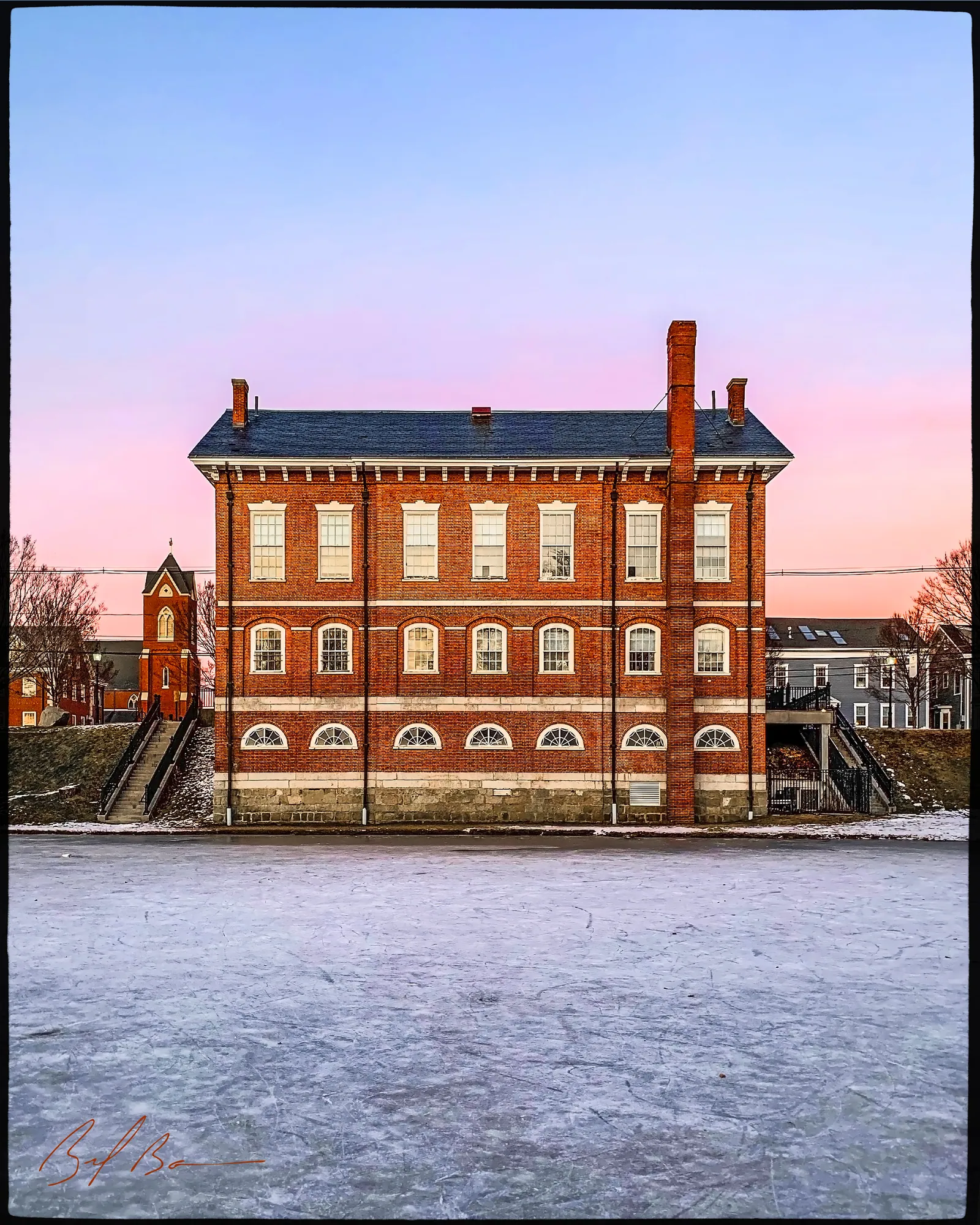
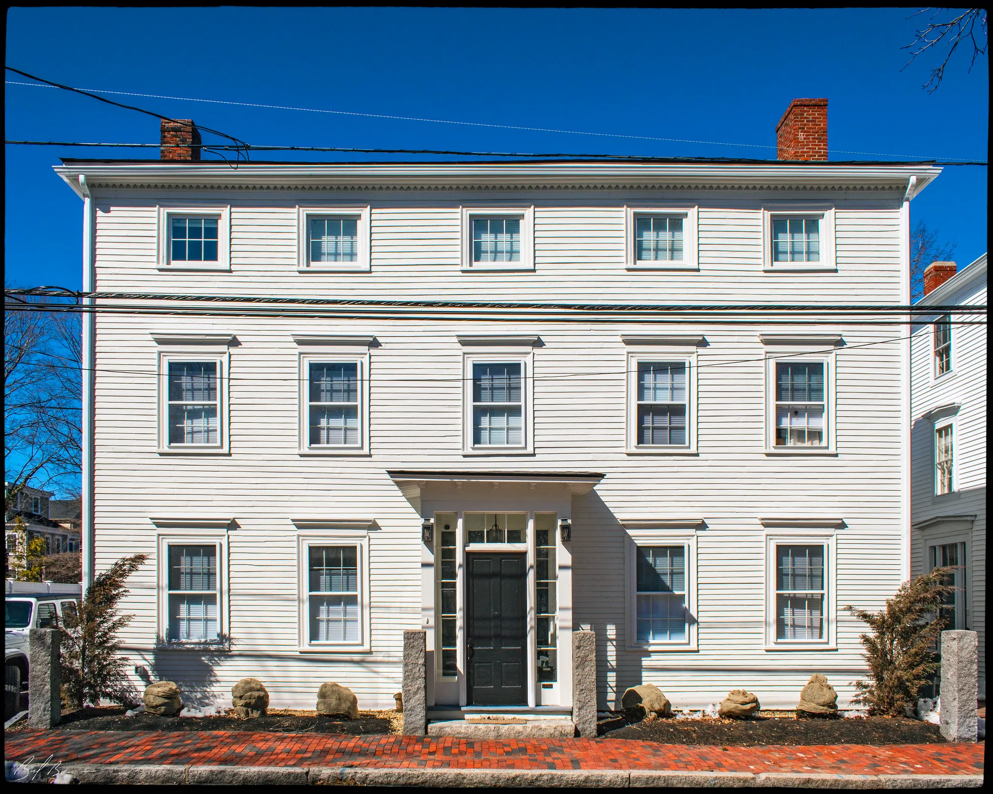
Areas with a legal standing: the National Register district, the Fruit Street local historic district, and the courthouse and Mall.
Places
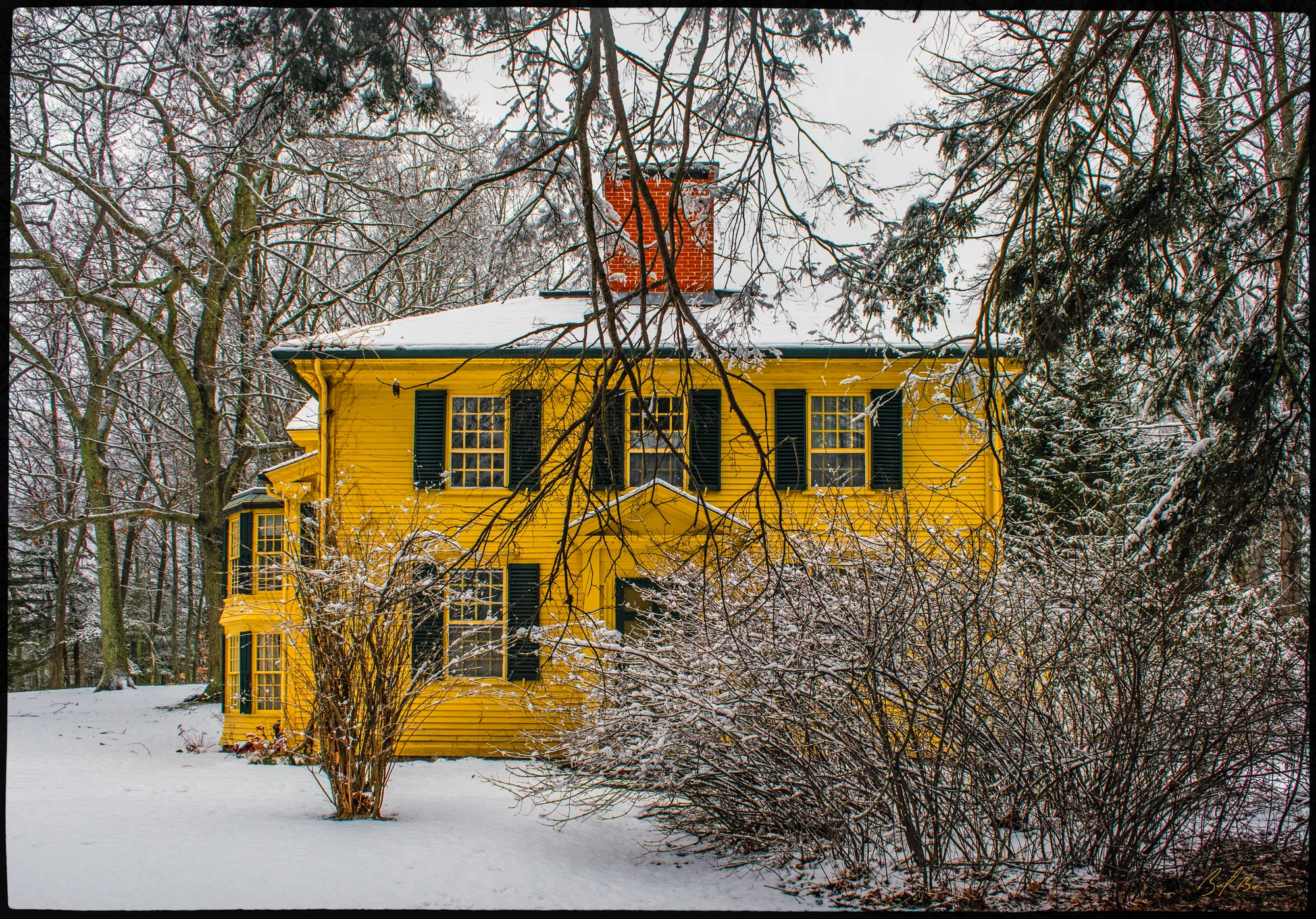
Estates, parks, a wharf and a common: places the survey records as a whole.
Streetscapes
Single streets or blocks the survey wrote up on their own. Each one’s summary is on its street page.
- Summer StreetNWB.M · 10 buildings
- Toppan's LaneNWB.N · 9 buildings
- Brown SquareNWB.O · 5 buildings
- Independent StreetNWB.P · 2 buildings
- Harris StreetNWB.Q · 10 buildings
- Green StreetNWB.R · 19 buildings
- State StreetNWB.U · 98 buildings
- Prospect StreetNWB.V · 38 buildings
- Water StreetNWB.W · 126 buildings
- Broad StreetNWB.X · 40 buildings
- Market StreetNWB.Y · 27 buildings
- Temple StreetNWB.Z · 25 buildings
- Orange Street StreetscapeNWB.AA · 15 buildings
- Washington StreetNWB.AB · 50 buildings
- Carter StreetscapeNWB.AC · 32 buildings
- Kent StreetscapeNWB.AD · 11 buildings
- Merrimac Street StreetscapeNWB.BD · 5 buildings
- Warren StreetscapeNWB.AE · 30 buildings
- Allen StreetscapeNWB.AF · 15 buildings
- Barton StreetscapeNWB.AG · 18 buildings
- Fair StreetscapeNWB.AH · 11 buildings
- Garden StreetscapeNWB.AI · 6 buildings
- Parsons StreetscapeNWB.AJ · 11 buildings
- Prospect StreetscapeNWB.AK · 31 buildings
- Tremont StreetscapeNWB.AL · 9 buildings
- Horton StreetscapeNWB.AM · 14 buildings
- Independent StreetscapeNWB.AN · 3 buildings
- Otis Place StreetscapeNWB.AO · 9 buildings
- Park StreetscapeNWB.AP · 7 buildings
- Oakland StreetscapeNWB.AQ · 30 buildings
- Titcomb StreetscapeNWB.AR · 7 buildings
- Tyng Streetscape (Upper)NWB.AS · 5 buildings
- Court StreetNWB.AT · 11 buildings
- Tyng Streetscape (Lower)NWB.AU · 8 buildings
Bars show when each area’s buildings were built:Before 17751775–18301830–18601860–19001900–1945Since 1945
Areas and their boundaries are the Massachusetts Historical Commission’s (MACRIS, via MassGIS); a building is counted in every area its map point falls inside, so the totals overlap. Dates are the middle 80% of the buildings’ dates. Most buildings haven’t been researched yet: their dates and styles are the state inventory’s estimates.